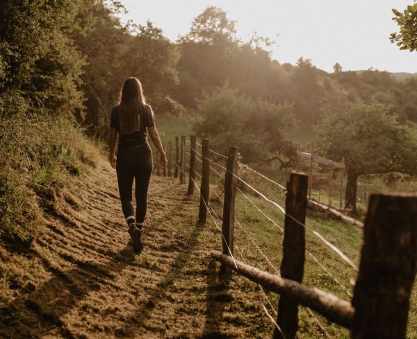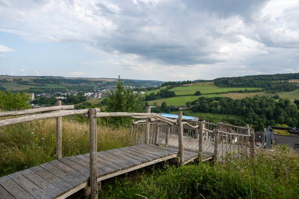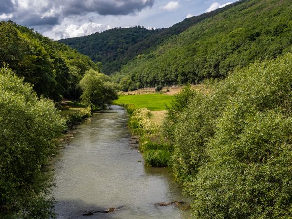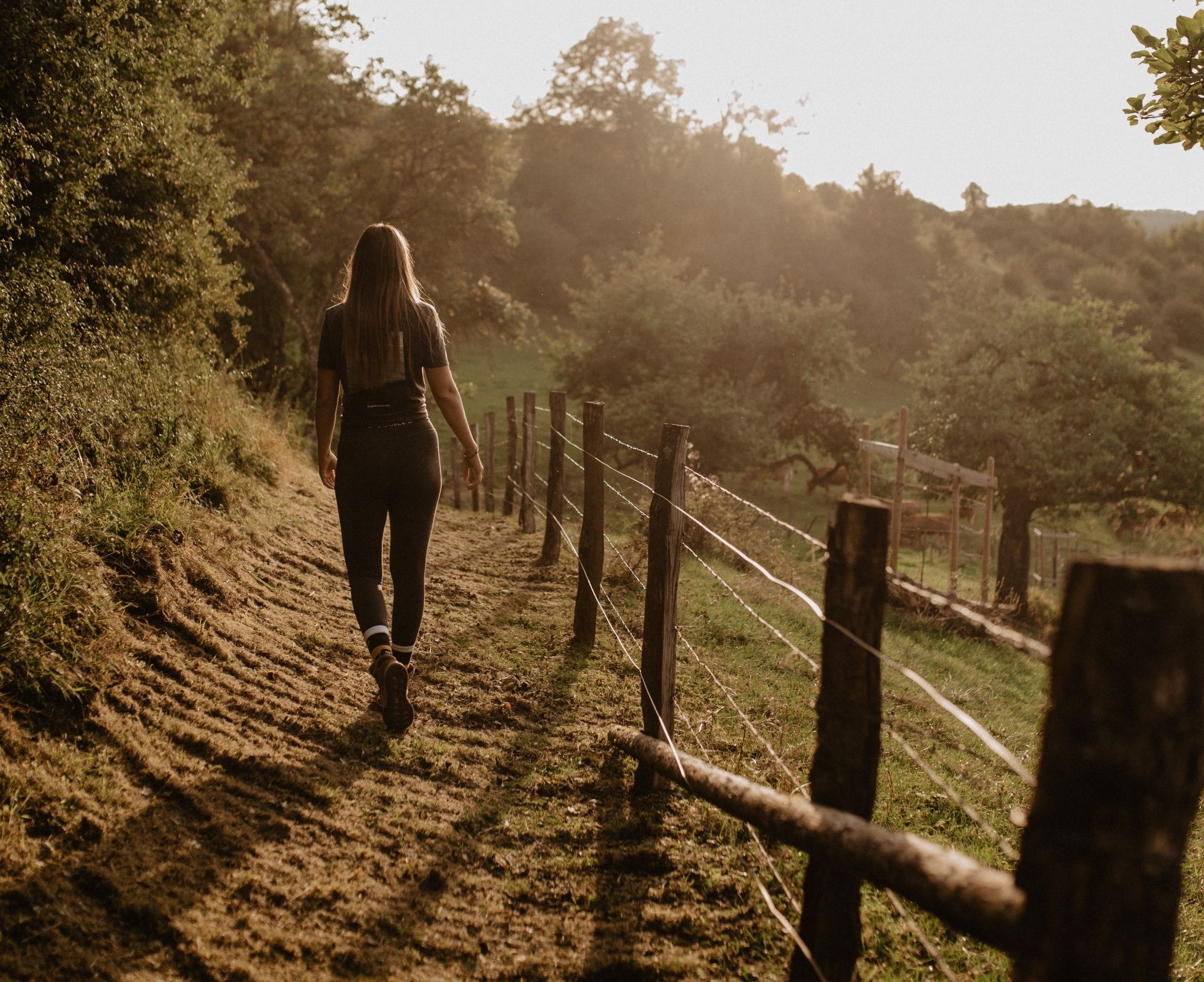
©Visit Éislek, Visit Éislek
Éislek Germany France

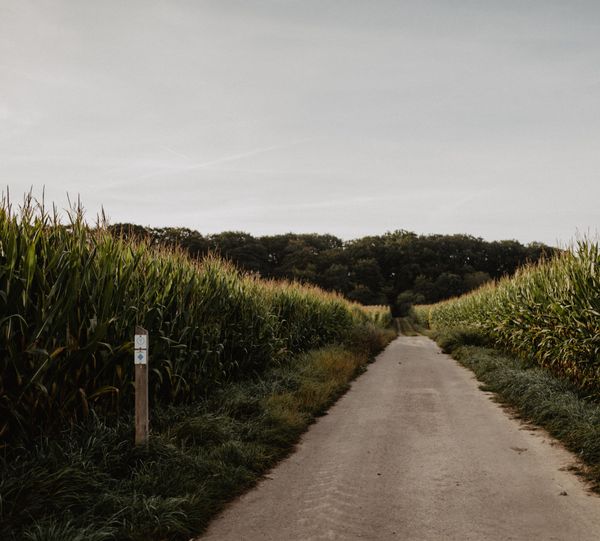
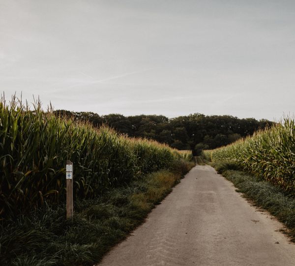
Local hiking trail RB 2 - Folschette

Starting point

Folschette

Destination

Folschette

Distance
6,03 km
Duration
1:45 h
Difficulty
easy
  • Condition
Highest point
474 Hm
Lowest point
354 Hm
Aggregated Ascent
100 Hm
Aggregated Descent
100 Hm
Circular routes Visit Luxembourg

Description

Scenic

From a leisurely afternoon round to a challenging hiking route, everything is included in the local hiking trails.

The local hiking trails are marked with the abbreviations of the municipality where they start. The larger the number included in the marking, the longer the circular hiking route. See for yourself the variety of local hiking trails and the different features in the Éislek.

Suggestions nearby

Local hiking trail RB 2 - Folschette

  • Pizzeria Duerfkrou
    Pizzeria, Brasserie, Snacks
    Find out more

Similar hiking tours

©Visit Luxembourg
Circular routes
Auto-Pédestre Hiking Trail Büderscheid
Distance: 4,64 km
Duration: 1:20 h
Difficulty: easy
Find out more
©Luxembourg for Tourism
Circular routes
Auto-Pédestre Bourscheid route
Distance: 5,88 km
Duration: 2:05 h
Difficulty: easy
Find out more
©Visit Luxembourg
Circular routes
Auto-Pédestre Hiking Trail Surré
Distance: 6,21 km
Duration: 1:45 h
Difficulty: easy
Find out more
©Visit Luxembourg
Circular routes
Local hiking trail TA 2 - Bettel
Distance: 6,00 km
Duration: 1:45 h
Difficulty: easy
Find out more
©Visit Luxembourg
Circular routes
Local hiking trail TV 1 - Huldange
Distance: 3,54 km
Duration: 0:55 h
Difficulty: easy
Find out more
©Visit Éislek, Visit Éislek
Circular routes
Local hiking trail WI 2 - Eschweiler Halte
Distance: 5,35 km
Duration: 1:35 h
Difficulty: easy
Find out more
©@Visit Éislek
Thematic paths
Children's Rights Trail Ettelbruck
Distance: 2,64 km
Duration: 0:45 h
Difficulty: easy
Find out more
©Visit Luxembourg
Circular routes
Local hiking trail RB 1 - Eschette
Distance: 4,33 km
Duration: 1:10 h
Difficulty: easy
Find out more
©Visit Éislek
Circular routes
Auto-Pédestre Tadler hiking trail
Distance: 4,57 km
Duration: 1:30 h
Difficulty: easy
Find out more
outdooractive This website uses technology and content from the Outdooractive Platform.