
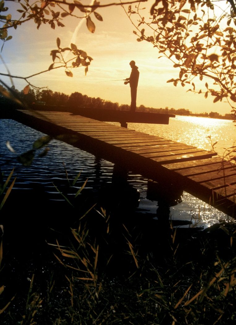
Fishponds Boulaide

Fishponds Boulaide

Special fishponds, where angling is allowed without any formalities except payment of a fee, in Boulaide, Clemency, Clervaux/Reuler, Erpeldange/Ettelbruck, Fischbach/Mersch, Lamadeleine, Kockelscheuer, Olingen, Pétange, Pratz, Redange/Attert and Remerschen.

The same conditions will be found at the lakes of Echternach and Weiswampach and on the Gander in Mondorf-les-Bains.

Opening hours

Opening hours are subject to change. Please check them before your visit in order to be sure.
Saturday26.09.2026 : 08:00 - 18:00
Sunday27.09.2026 : 08:00 - 18:00
MondayClosed
TuesdayClosed
Wednesday30.09.2026 : 08:00 - 18:00
ThursdayClosed
Friday02.10.2026 : 08:00 - 18:00

Contact

Address: Fishponds Boulaide
Rue de l'Étang
L-9640 Boulaide
Show on map

More sites

©Visit Éislek, Visit Éislek
Escapardenne - Leading Quality Trails - Best of Europe
Escapardenne Lee Trail
Distance: 50,75 km
Duration: 16:45 h
Difficulty: difficult
Find out more
©Visit Luxembourg
Circular routes
Auto-Pédestre hiking route Munshausen
Distance: 8,68 km
Duration: 2:40 h
Difficulty: medium
Find out more
©Visit Luxembourg
Circular routes
Local Hiking Trail BS 1 - Lipperscheid
Distance: 5,47 km
Duration: 1:50 h
Difficulty: easy
Find out more
©Cube 521
Cube 521 Marnach
Cube 521 - "Maison régionale de la Culture"
Find out more
©Ancien Cinéma
Ancien Cinéma Café-Club
Find out more
©Naturpark Oewersauer, Naturpark Oewersauer
Circular routes
Schumannseck 1944-1945 Memorial Path
Distance: 3,09 km
Duration: 0:50 h
Difficulty: easy
Find out more
©Visit Éislek
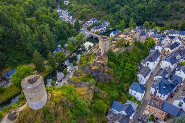
Esch-sur-Sûre Castle
High above Esch-sur-Sûre stand the freely accessible castle ruins, a place steeped in history offering sweeping views across the Sûre Valley.
Find out more
©Visit Éislek
Priedegtstull viewpoint
The Priedegtstull viewpoint near Erpeldange-sur-Sûre can be reached via various hiking trails and offers a breathtaking view over a loop of the Sûre river.
Find out more
©Visit Éislek, Visit Éislek
Éislek Pied
Éislek Path Clervaux
Distance: 13,68 km
Duration: 4:05 h
Difficulty: difficult
Find out more