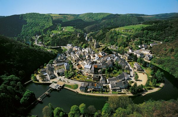

Rouschtert viewpoint
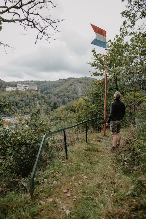
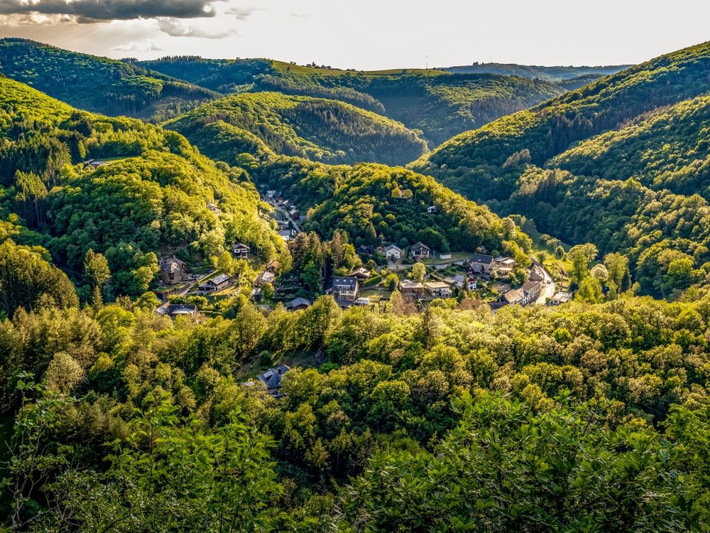
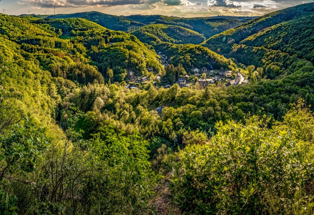
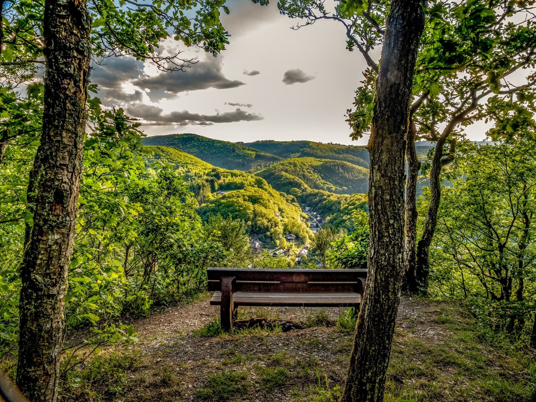
The Rouschtert viewpoint in Dirbach, a popular photo spot, offers a breathtaking view of a loop of the Sûre river and the village of Dirbach at an altitude of 350 metres. It can only be reached via hiking trails.
The Rouschtert viewpoint above Dirbach is an ideal place to enjoy the wild and impressive nature of the Éislek. Located at around 350 metres above sea level, it offers a breathtaking panoramic view of a loop of the Sûre that winds its way through the valley. Dirbach, where there are various places to stop for refreshments, can be seen in the distance. Rouschtert is a popular photo spot and attracts nature lovers and hikers alike.
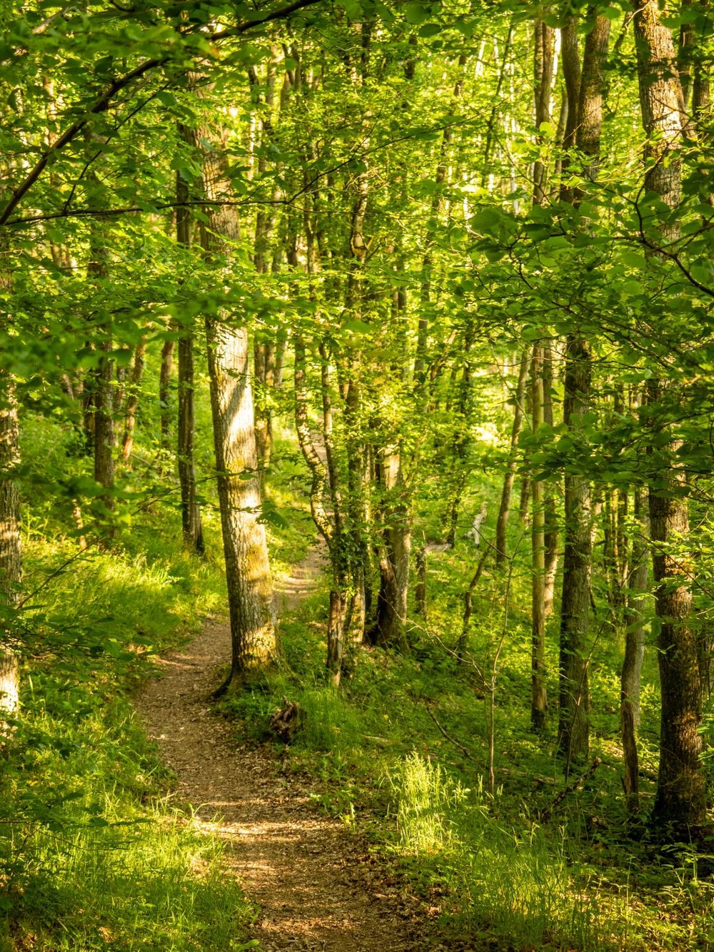
The viewpoint can only be reached on foot and is located on several hiking trails, including the Escapardenne Lee Trail, the local ES3 hiking trail and the Éislek Pad Bourscheid. The effort of the climb is rewarded by the spectacular view, while the tranquillity of the valley is an invitation to linger.