Luxembourg City Éislek Müllerthal Mosel Minett Guttland Germany France

Éislek Pad Tadler

Starting point
Car park at the end of the village in the direction of Ringel, Haaptstrooss, Tadler
Destination
Car park at the end of the village in the direction of Ringel, Haaptstrooss, Tadler
Distance
13,42 km
Duration
4:20 h
Difficulty
medium
  • Condition
  • Technique
Highest point
395 Hm
Lowest point
252 Hm
Éislek Pied Visit Éislek

Description
Scenic

Along the river meanders 

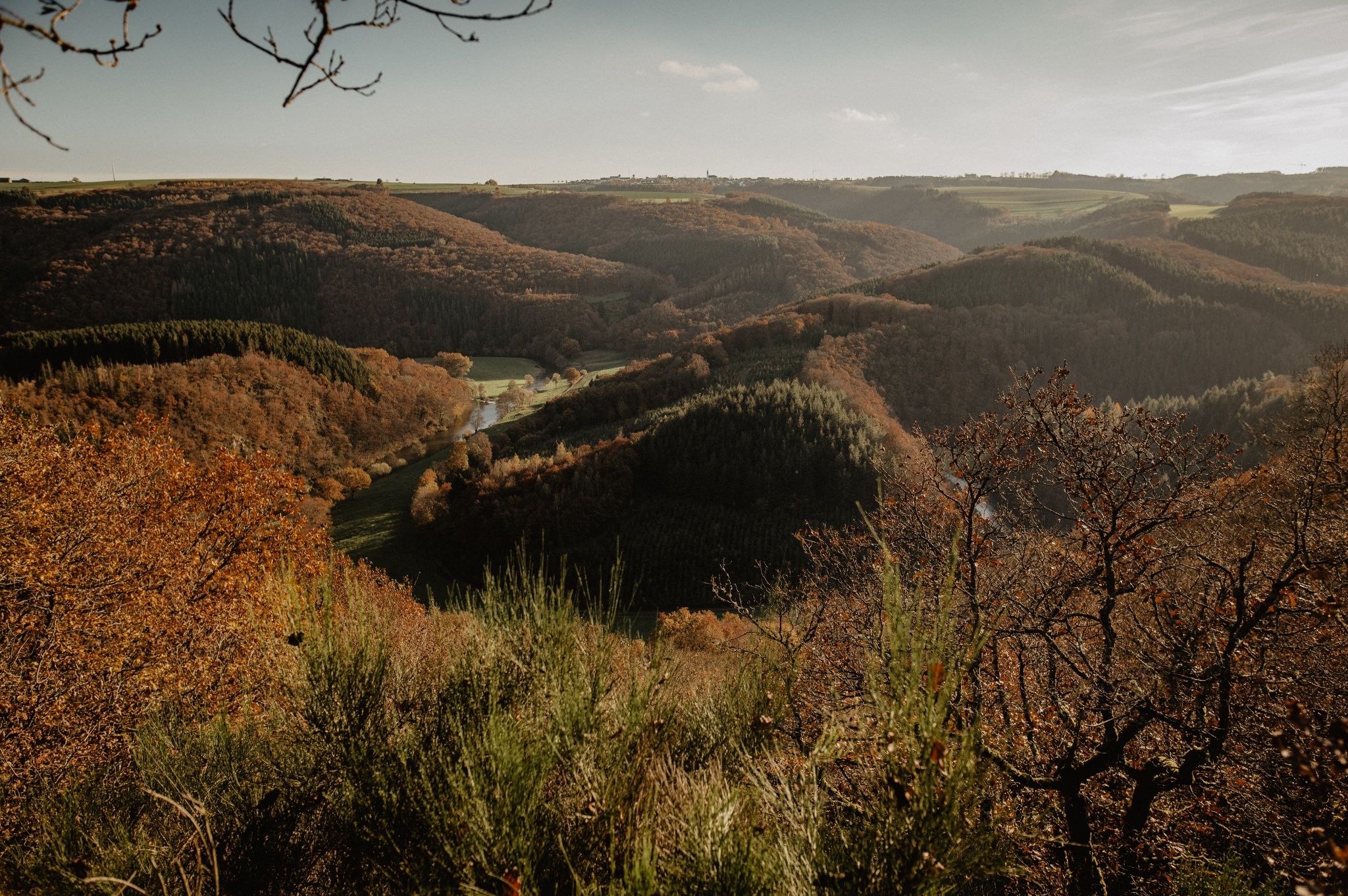
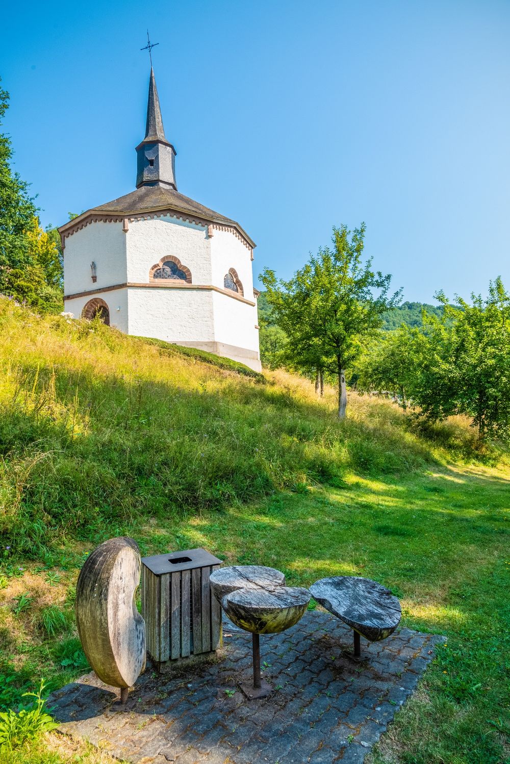
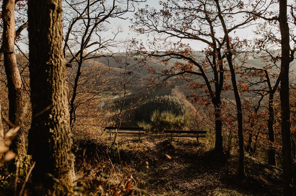
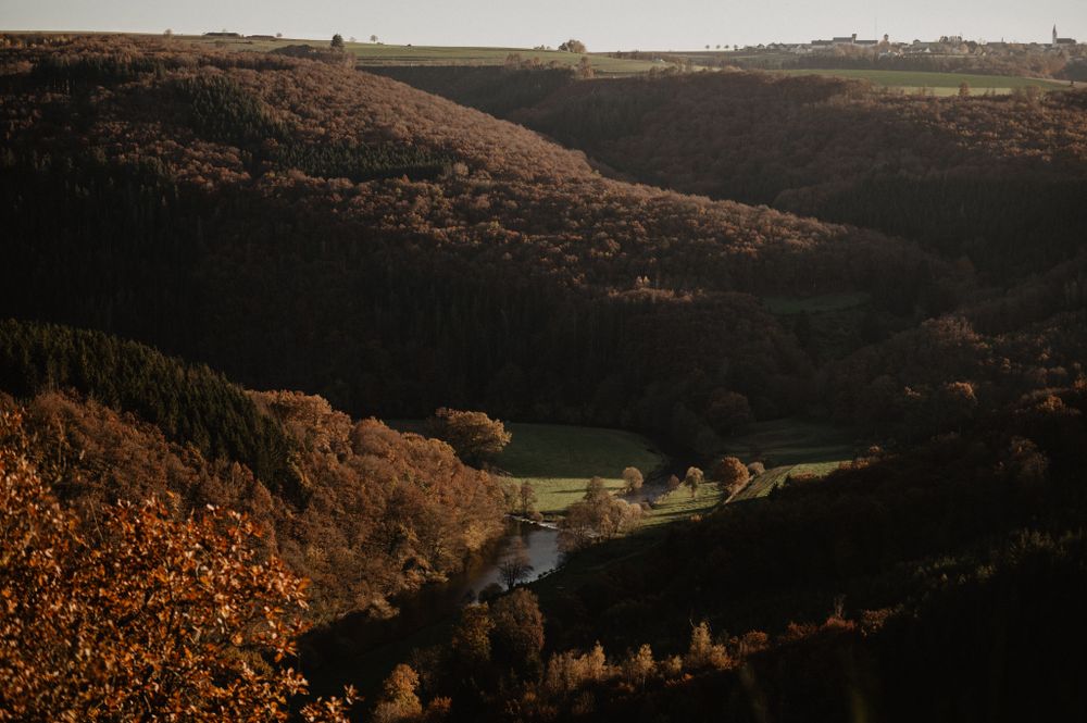
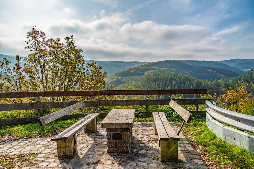
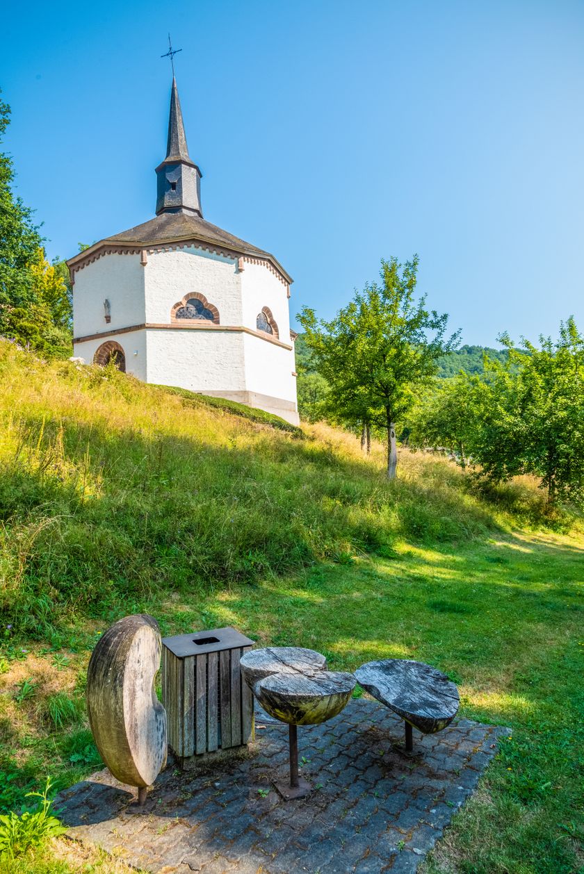
Observe the loops of the Sûre River, sometimes from a distance, sometimes form very close, sometimes you look at it from above and sometimes from the side. The viewpoints Gruewen and Bei der Beetebach change your perspective. Afterwards, you can discover the octagonal chapel St. Kunigunde in Heiderscheidergrund. Whoever counts the eight corners first is the winner and can continue the hike!

for tour routing
eislek-pad-tadler-1 gpx
Show all pictures

Current conditions

Source: Visit Éislek, Published: 2023-04-11
Deviation of the hiking trail: Éislek Pad Tadler
Notice: Due to work a section of the path is closed! Please use the deviation marked on site.

Source: E. H., Published: 2023-10-05
Deviation of the hiking trails : Éislek Pad Tadler, Auto-Pédestre Heiderscheid
Notice: Due to works a section of the path is closed! Please use the deviation marked on site.

Suggestions nearby

Éislek Pad Tadler

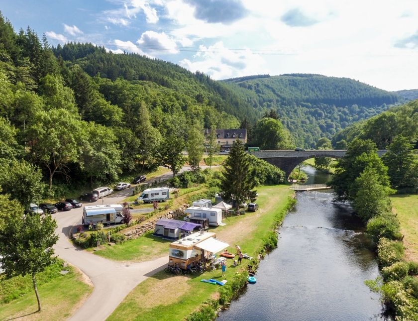
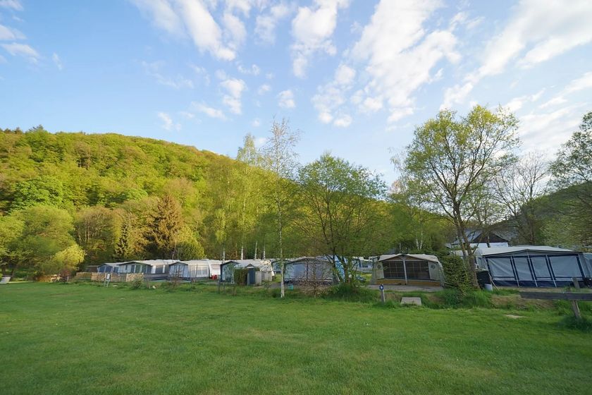
  • Camping Toodlermillen
    Camping Toodlermillen
    Pets allowedWifiRestaurant
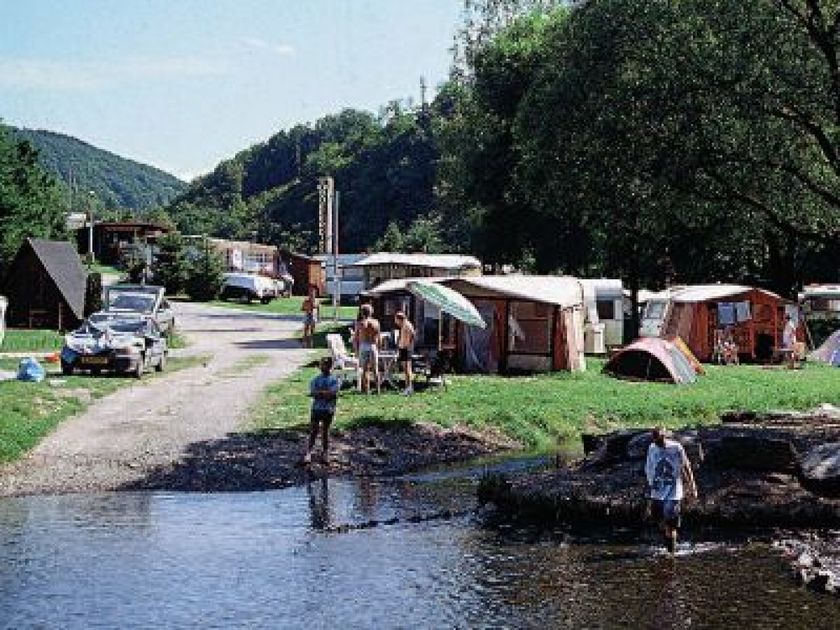
  • Camping Le Moulin
    Camping Le Moulin
    Pets allowed
  • Chapel St. Kunigonda Heiderscheidergrund
    St. Kunegonda Chapel
    The octagonal chapel in neo-Gothic style, built between 1849 and 1852, impresses with whitewashed walls, a tent-like roof and the veneration of Saint Kunigunde.
    Find out more

Similar hiking tours

Circular routes
Local hiking trail ES 8 - Esch-Sur-Sûre
Distance: 7,81 km
Duration: 2:30 h
Difficulty: medium
Find out more
Circular routes
Local hiking trail ES 9 - Fuussekaul
Distance: 8,27 km
Duration: 2:25 h
Difficulty: medium
Find out more
Circular routes
Local hiking trail ES 10 - Solarboat
Distance: 8,64 km
Duration: 2:50 h
Difficulty: medium
Find out more
Circular routes
Local hiking trail BL 4 - Boulaide
Distance: 7,67 km
Duration: 2:15 h
Difficulty: medium
Find out more
Circular routes
Local hiking trail BL 5 - Baschleiden
Distance: 9,26 km
Duration: 2:40 h
Difficulty: medium
Find out more
Circular routes
Local hiking trail DK 1 - Diekirch (Fridhaff)
Distance: 4,45 km
Duration: 1:20 h
Difficulty: medium
Find out more
Circular routes
Local hiking trail ES 11 - Heiderscheidergrund
Distance: 8,63 km
Duration: 2:50 h
Difficulty: medium
Find out more
Circular routes
Local hiking trail BS 2 - Kehmen
Distance: 6,97 km
Duration: 2:05 h
Difficulty: medium
Find out more
Circular routes
Local hiking trail ES 12 - Heiderscheid
Distance: 10,12 km
Duration: 3:05 h
Difficulty: medium
Find out more
outdooractive This website uses technology and content from the Outdooractive Platform.