
Description
To the windy viewpoint
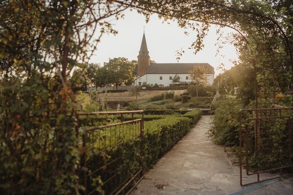
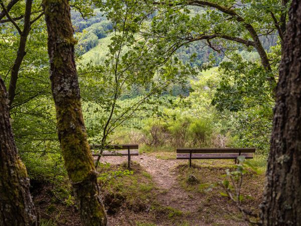
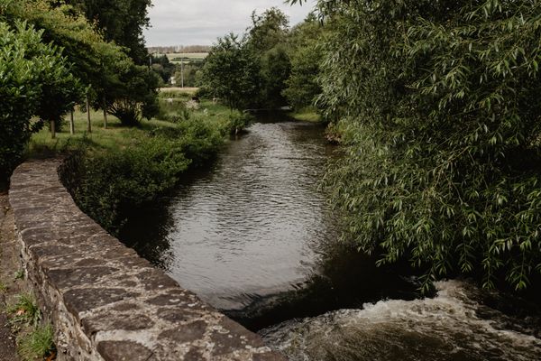
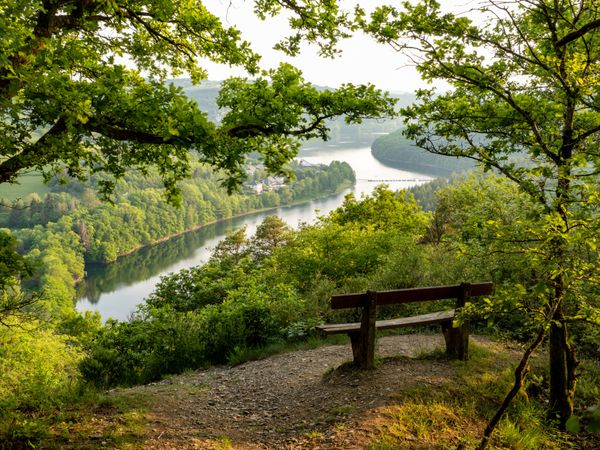
The path leads out of the village and into nature. You hike along the valley following the Fél stream. Step by step the steady ascent begins until you reach the wind park at the windmills. Afterwards, the path leads into the Wark valley. In this Natura 2000 protected area, many animal and plant species can be observed. In summer, especially lizards enjoy the warm sun rays on the slate rock.
Signposting

Directions
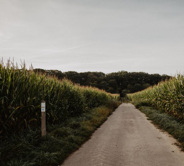
The hiking trail is marked in both directions. Please follow the white-blue "FE 2" markings.
For your safety
Weather conditions such as wetness, ice, and wind can make a route difficult. The information refers to optimal conditions.
Equipment
Sturdy footwear and something to drink.
Journey
Use the free public transport and travel climate-friendly by bus and train.
Nearest bus stop (50 m): "Mairie"
www.mobiliteit.lu
Parking:
A parking lot is located directly at the starting point.


 This website uses technology and content from the Outdooractive Platform.