
©Visit Éislek

Airmen's monument

Where? L-9974 Maulusmuehle

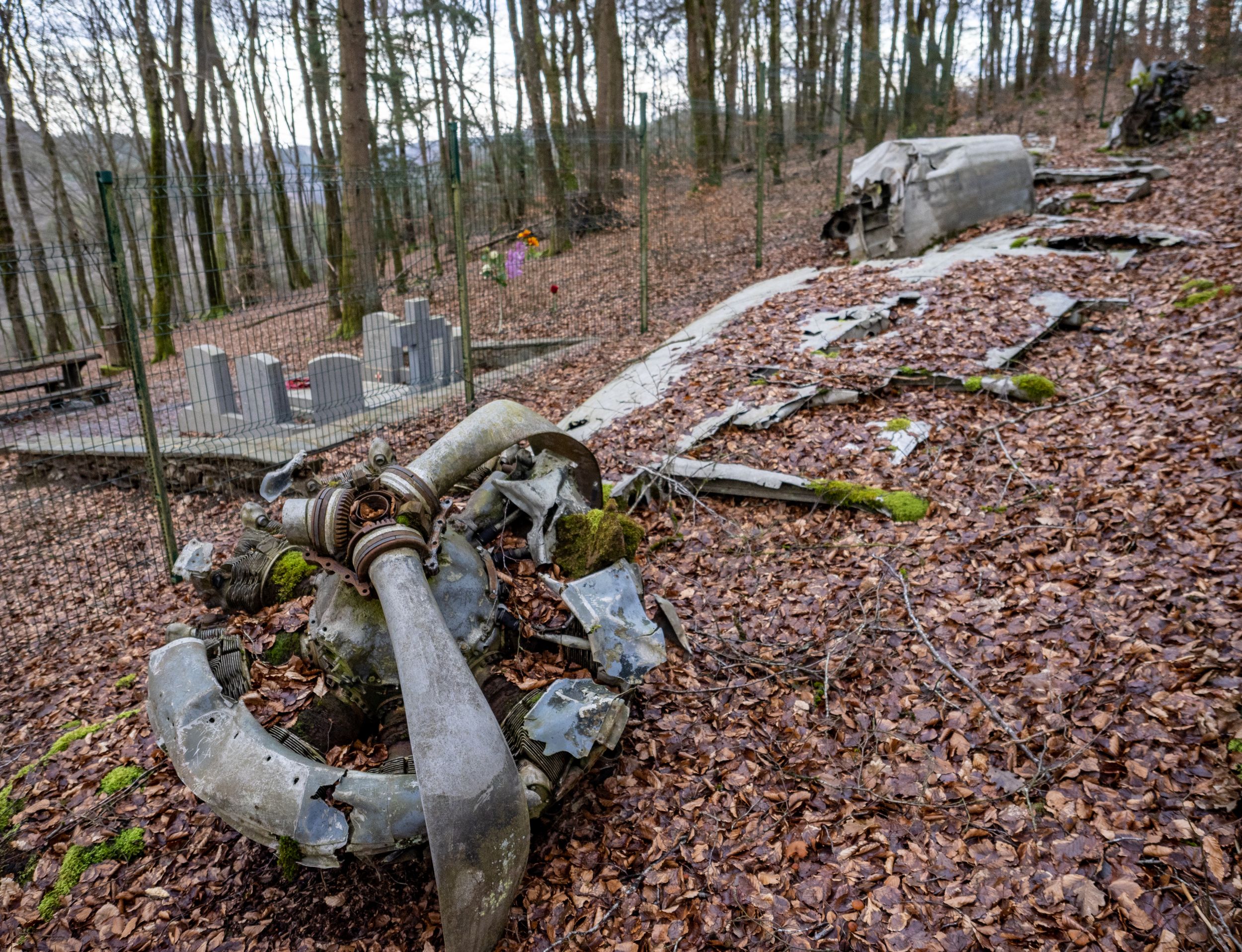
Take a journey into the past to the airmen's memorial in Maulusmühle. The wreckage of the aircraft on the ground tells the tragic story of six American airmen who lost their lives during the Battle of the Bulge.

In a wooded area right next to the village of Maulusmühle, the airmen's memorial serves as a silent witness to a turbulent past.

The scenery of the airmen's memorial is dominated by a wrecked aircraft resting on the ground. This wreckage tells a tragic story of six American airmen who lost their lives during the bloody battles in the Ardennes.

Next to the wreckage are the graves of the crew members. The plane, an English Hudson FK803, was shot down on 21 March 1945. On board were four crew members and three Belgian secret agents. Only the pilot survived the crash.

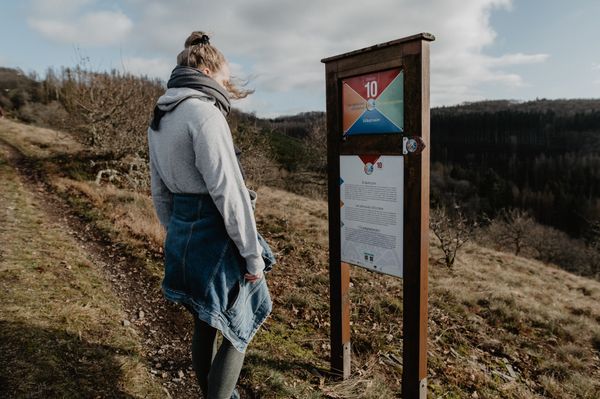
The Battle of the Ardennes, which raged during the Second World War, had a devastating impact on Éislek and its inhabitants. An information board provides important background information on the crashed airman, but also on the conflict in general.

Several walks lead past this memorial.
Contact

Address: Aviation Monument
L-9974 Maulusmuehle
Show on map

More sites

©Enner Berkels
Enner Berkels - charming cottage
Garden / ParkSituated in the centre of townWifi
©Visit Éislek, Visit Éislek
Éislek Pied
Éislek Pad Boulaide
Distance: 11,54 km
Duration: 3:35 h
Difficulty: medium
Find out more
©Aux Tanneries de Wiltz
Hotel Aux Tanneries de Wiltz
©Anabela and Jorge Valente diariesof
Bildchen Chapel
The Bildchen Chapel in Vianden is located at a pilgrimage site above the reservoir of the pumped storage plant and is worth a visit because of its idyllic location.
Find out more
©Visit Éislek, Visit Éislek
Circular routes
Local hiking trail WN 3 - Brachtenbach
Distance: 7,69 km
Duration: 2:15 h
Difficulty: medium
Find out more
©Visit Luxembourg
Circular routes
Local hiking trail BS 3 - Bourscheid Mill
Distance: 6,77 km
Duration: 2:05 h
Difficulty: easy
Find out more
©Visit Luxembourg
Kautenbach Nature Trail
Distance: 6,55 km
Duration: 2:10 h
Difficulty: medium
Find out more
©Visit Éislek
Rouschtert viewpoint
The Rouschtert viewpoint in Dirbach, a popular photo spot, offers a breathtaking view of a loop of the Sûre river and the village of Dirbach at an altitude of 350 metres. It can only be reached via hiking trails.
Find out more

No image available
Circular routes
Local hiking trail BL 1 - Surré
Distance: 4,79 km
Duration: 1:20 h
Difficulty: easy
Find out more