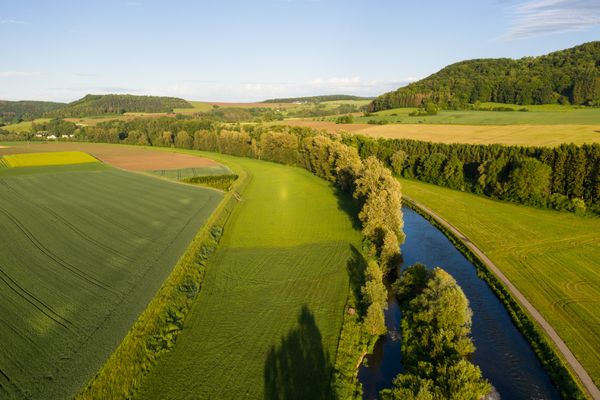
The Sûre

Where? 8832 Rombach-Martelange

The Sûre

Contact

Address: The Sûre
L-8832 Rombach-Martelange
Show on map

More sites

Restaurant "Auberge Fuussekaul"
Find out more
©Visit Éislek
Circular routes
Auto-Pédestre Hiking Route Boxhorn
Distance: 11,96 km
Duration: 3:20 h
Difficulty: medium
Find out more
©BB Beessléck
Bed, Bike & Breakfast Beessléck
Wifi
©Visit Luxembourg
Bicycle route du Nord: Kautenbach-Wilwerwiltz (PC 21)
Distance: 9,80 km
Duration: 1:05 h
Difficulty: easy
Find out more
©Vincent Frasiak, Visit Luxembourg
Mountainbike
Mountain bike route Erpeldange-sur-Sûre
Distance: 21,73 km
Duration: 2:55 h
Difficulty: medium
Find out more
©Visit Éislek
Picnic area Déck Lee
The "Déck Lee" has an eventful history behind it. This impressive rock served as a retreat for 30 Eschdorfers on 25 December 1944 before the deadly fighting between the German occupier and the American troops. Today, a sign commemorates the events. The "Déck Lee", located in the Milbich valley, is also a great place for a picnic. The best way to reach it is via the Wassersënneswee.
Find out more
©Restaurant Chez Max
Restaurant-Brasserie Chez Max
Brasserie restaurant on two levels with seasonal cuisine, a varied menu and space for private or business events.
Find out more
©Visit Éislek
Viewpoint Gringlee
The ‘Gringlee’ viewpoint, also known as ‘Gringlay’, offers an impressive panorama over the Sûre Valley and the majestic Bourscheid Castle. It is one of the most famous viewpoints in Luxembourg.
Find out more
©Thomas Linkel
Clervaux
A Gem in the Luxembourg ArdennesThe town of Clervaux is located in the north of Luxembourg, in the heart of the wild landscapes of the Ardennes, also known as the Éislek. Overlooking the town is the imposing 12th-century castle, a landmark that defines the skyline. With its pedestrian streets, rich cultural offering, and a wide network of cycling and hiking trails, Clervaux is one of the most popular destinations in northern Luxembourg.
Find out more