©Visit Luxembourg
Éislek Germany France

Auto-Pédestre route Bigonville

Hunting Season 2025/26 — Check for hunts

Autumn is here, and that means hunting season has begun! From mid-October to January/February, hunters are active across the country. Stay safe by checking hunt dates in your area on our Map. 

Click on Map in the Header > Services > More > Hunting.

Starting point

7 Rue Principale, Bigonville

Destination

7 Rue Principale, Bigonville

Distance
12,50 km
Duration
3:35 h
Difficulty
medium
  • Condition
Highest point
484 Hm
Lowest point
360 Hm
Aggregated Ascent
290 Hm
Aggregated Descent
290 Hm
Circular routes Visit Luxembourg

Description

Scenic

Bigonville, called Bondorf in German, is located close to the Belgian-Luxembourg border. The Auto-Pédestre route also runs in this direction.

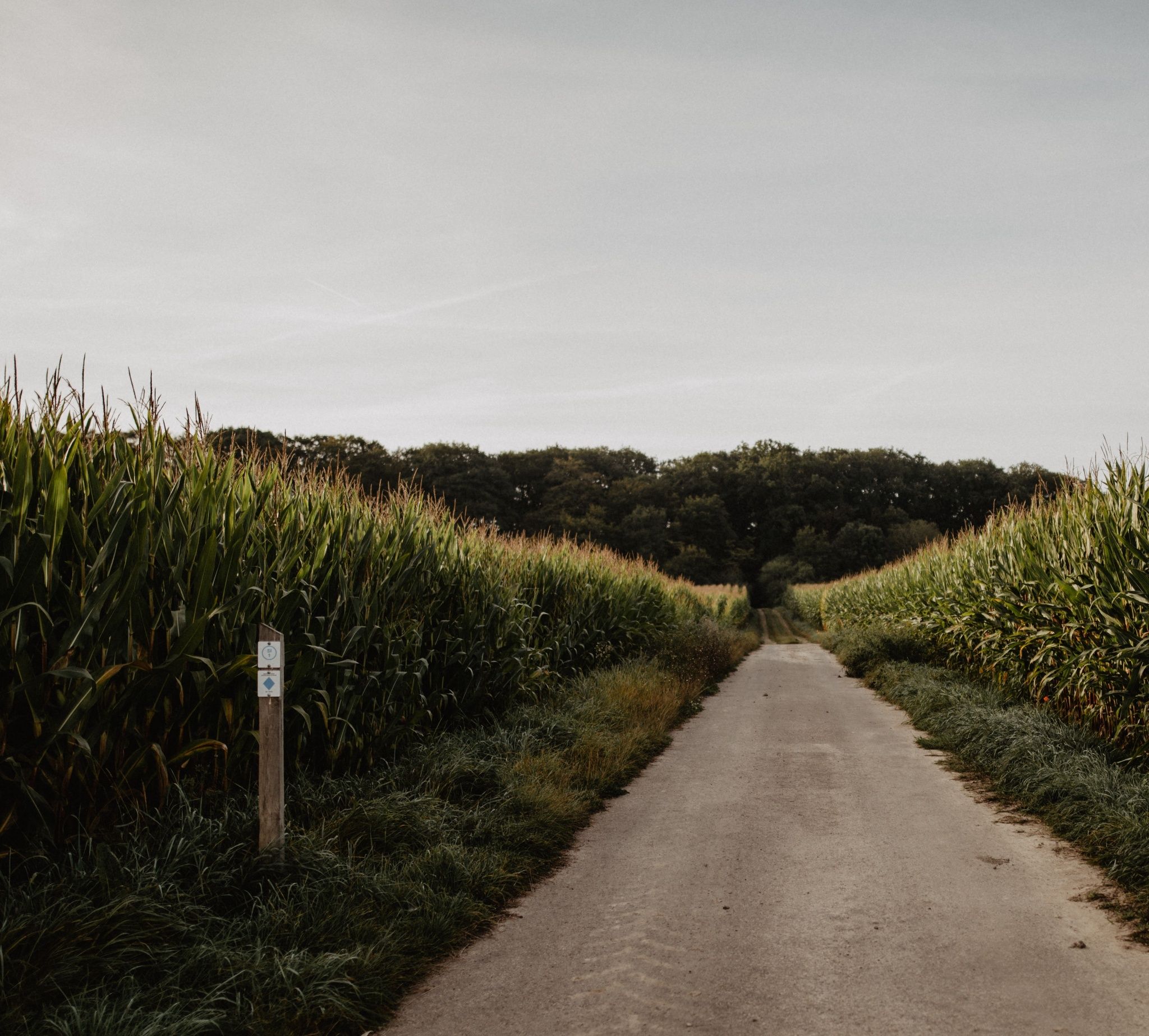
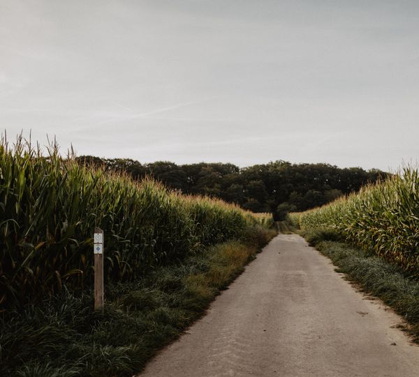
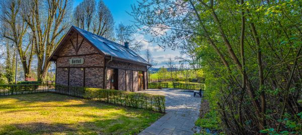
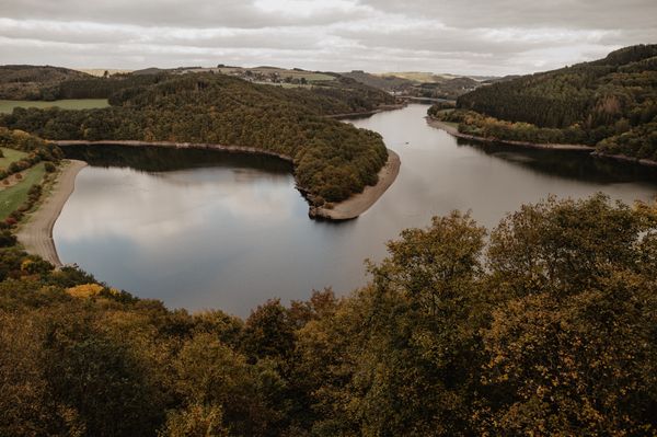
The starting point of the Auto-Pédestre Bigonville is in the village centre, close to the cultural centre. The village, first mentioned in documents in 1182, lies on a plateau. Logically, the hike initially goes downhill into the Sauer valley, where the river acts as the border between Belgium and Luxembourg.

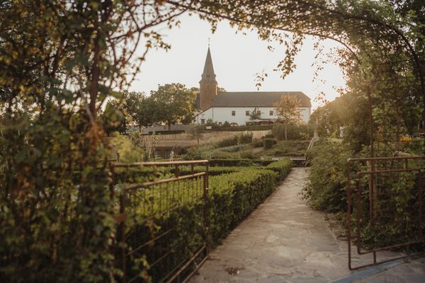
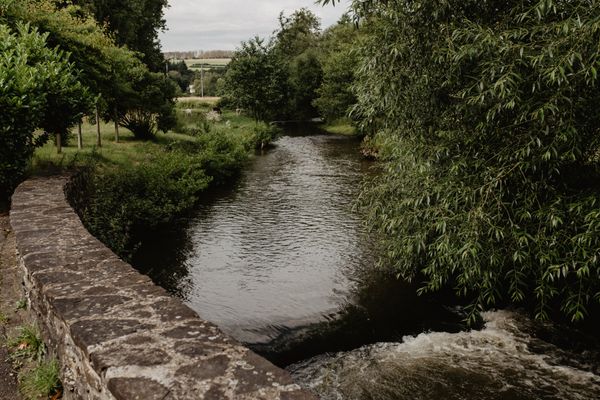
The path first follows the river before crossing the Froumicht valley. From here, it returns to the starting point of the route. Before arriving there, you should make a short visit to the Saint Quirinus Church in the village centre. The furnishings, mainly created by the sculptor and artistic carpenter Jean-Georges Scholtus, are particularly worth seeing.

Suggestions nearby

Auto-Pédestre route Bigonville

  • ©Bungerefer Millen
    Bungerefer Millen
    The Bungerefer Millen welcomes you to this carefully restored building, which has a rich history and a unique charm.
    Find out more

Similar hiking tours

©Visit Éislek, Visit Éislek
Circular routes
Local hiking route BS 4 - Bourscheid Mill
Distance: 9,10 km
Duration: 3:05 h
Difficulty: medium
Find out more
©Visit Éislek, Visit Éislek
Circular routes
Local hiking trail GO 2 - Goesdorf
Distance: 7,72 km
Duration: 2:20 h
Difficulty: medium
Find out more
©Visit Éislek, Visit Éislek
Circular routes
Local hiking trail RB 6 - Bilsdorf
Distance: 9,06 km
Duration: 2:35 h
Difficulty: medium
Find out more
©Visit Éislek, Visit Éislek
Circular routes
Local hiking trail TV 3 - Troisvierges
Distance: 8,14 km
Duration: 2:20 h
Difficulty: medium
Find out more
©Visit Éislek, Visit Éislek
Circular routes
Local hiking trail FE 2 - Niederfeulen
Distance: 14,40 km
Duration: 4:05 h
Difficulty: medium
Find out more
©Visit Éislek, Visit Éislek
Circular routes
Local hiking trail CB 1 - Colmar-Berg
Distance: 11,69 km
Duration: 3:10 h
Difficulty: medium
Find out more
©Visit Éislek, Visit Éislek
Circular routes
Local hiking trail PU 1 - Bivels
Distance: 7,47 km
Duration: 2:20 h
Difficulty: medium
Find out more
©Visit Éislek
Thematic paths
Ourdall Promenade
Distance: 8,78 km
Duration: 2:25 h
Difficulty: medium
Find out more
©dcastigl@pt.lu2019, Visit Éislek
CFL rail trail 13 (Colmar-Berg – Mersch)
Distance: 10,42 km
Duration: 2:40 h
Difficulty: medium
Find out more
outdooractive This website uses technology and content from the Outdooractive Platform.