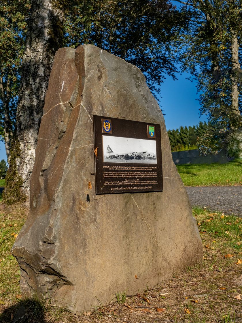
© Visit Éislek, Visit Éislek
Éislek Germany France

Éislek Pad Boulaide

Hunting Season 2025/26 — Check for hunts

Autumn is here, and that means hunting season has begun! From mid-October to January/February, hunters are active across the country. Stay safe by checking hunt dates in your area on our Map. 

Click on Map in the Header > Services > More > Hunting.

Starting point

Church, Rue du Curé, Boulaide

Destination

Church, Rue du Curé, Boulaide

Distance
11,54 km
Duration
3:35 h
Difficulty
medium
  • Condition
Highest point
464 Hm
Lowest point
321 Hm
Aggregated Ascent
300 Hm
Aggregated Descent
300 Hm
Éislek Pied Visit Luxembourg

Description

Kids & Family Scenic Refreshment stops available

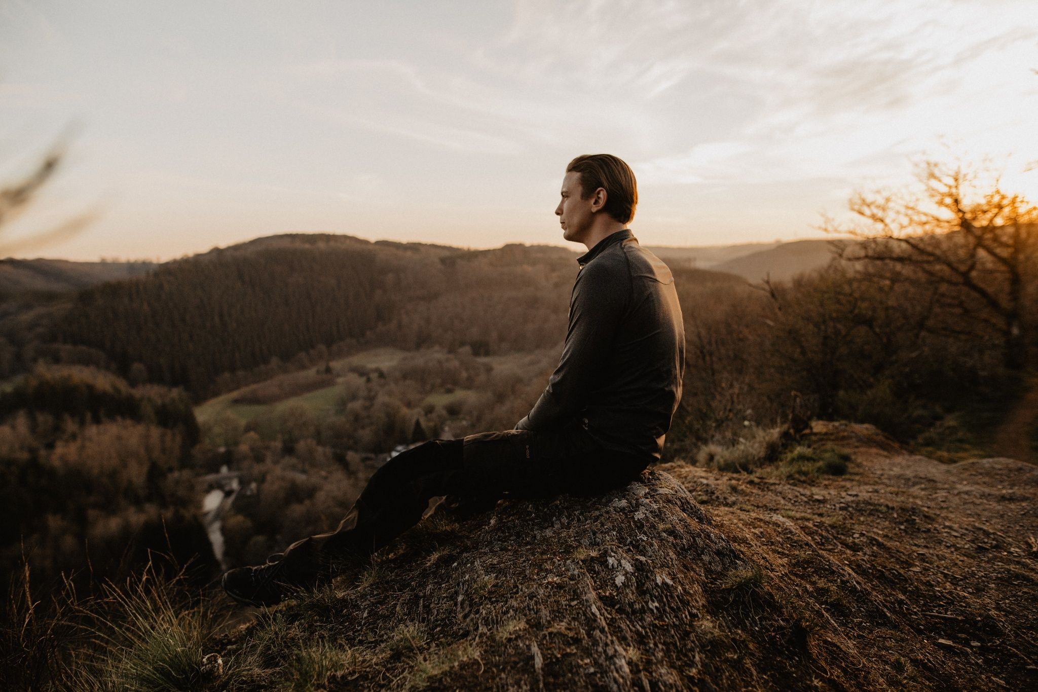
Up onto the high rock 

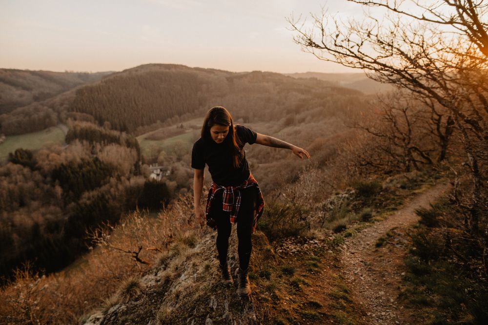
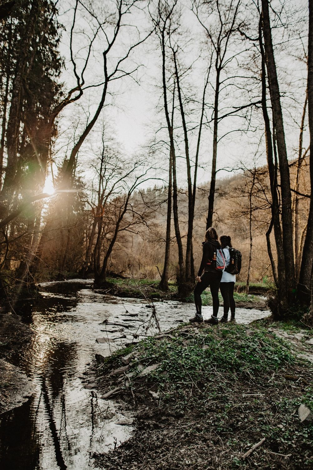
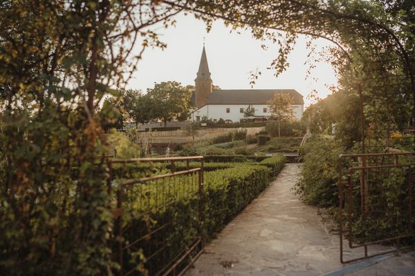
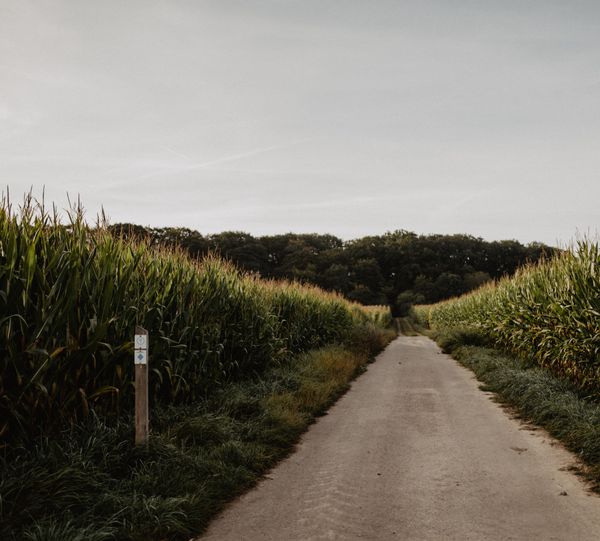
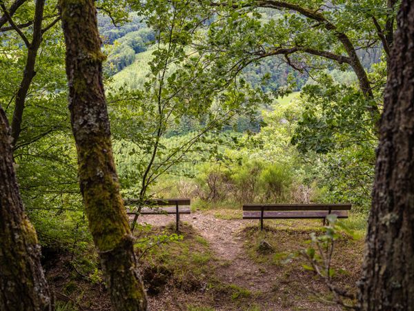
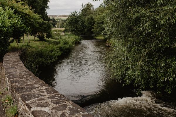
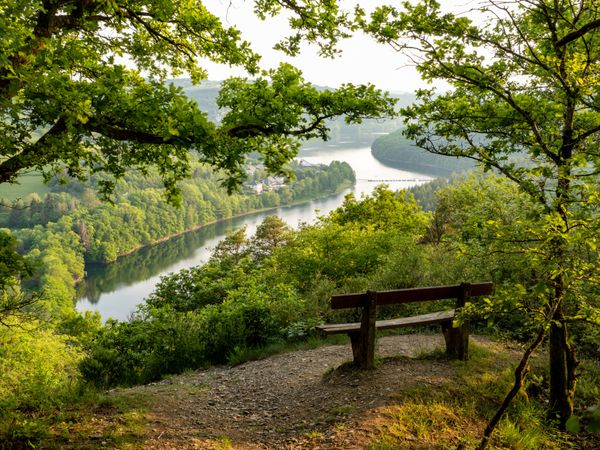
Along the bank of the Sauer, through a small moor, it goes up on a small, fine, steep path over slate ridges to the Houfëls, German for high rock. Don’t forget to look around and enjoy the view! Once at the top, the valley and the mill of Bigonville lie at your feet. You truly deserve that and the refreshment at the end of the path at the Bauschleidener mill!

Suggestions nearby

Éislek Pad Boulaide

  • © Visit Éislek
    B-17 Bouncing Betty – Plane crash
    The Bouncing Betty's Fateful Day in Boulaide
    Find out more
  • © Caroline Martin
    Exhibition “Our Common Heritage”
    An ambitious and unifying project, the exhibition “Our Common Heritage” in Boulaide takes an original and completely new approach to the history lived in the cross-border territories of the Greater Region, whose imprint still marks the current geopolitical context.
    Find out more
  • Anti-tank gun 43
    At the Houfëls viewpoint, the imposing presence of two World War II relics awaits visitors.
    Find out more
  • © Visit Éislek
    Houfëls
    The ‘Houfëls’ (high rock) viewpoint near Boulaide offers a breathtaking view over the Sûre Valley and the Upper Sûre.
    Find out more

Similar hiking tours

© Visit Luxembourg
Circular routes
Auto-Pédestre route Lieler
Distance: 7,85 km
Duration: 2:15 h
Difficulty: medium
Find out more
© Visit Luxembourg
Circular routes
Auto-Pédestre trail Roder
Distance: 7,64 km
Duration: 2:30 h
Difficulty: medium
Find out more
© Visit Luxembourg
Circular routes
Auto-Pédestre trail Stolzembourg
Distance: 7,59 km
Duration: 2:15 h
Difficulty: medium
Find out more
© Visit Luxembourg
Circular routes
Auto-Pédestre Baschleiden route
Distance: 8,55 km
Duration: 2:40 h
Difficulty: medium
Find out more
© Visit Luxembourg
Circular routes
Auto-Pédestre trail Consthum
Distance: 7,72 km
Duration: 2:15 h
Difficulty: medium
Find out more
© Visit Luxembourg
Circular routes
Auto-Pédestre trail Rambrouch
Distance: 10,88 km
Duration: 2:55 h
Difficulty: medium
Find out more
© Visit Luxembourg
Circular routes
Auto-Pédestre trail Berlé
Distance: 8,42 km
Duration: 2:25 h
Difficulty: medium
Find out more
© Visit Luxembourg
Circular routes
Auto-Pédestre trail Schieren
Distance: 7,44 km
Duration: 2:10 h
Difficulty: medium
Find out more
© Visit Luxembourg
Circular routes
Auto-Pédestre route Vianden
Distance: 7,96 km
Duration: 2:45 h
Difficulty: medium
Find out more
outdooractive This website uses technology and content from the Outdooractive Platform.