©Visit Luxembourg
Éislek Germany France

Auto-Pédestre hiking route Roder

Hunting Season 2025/26 — Check for hunts

Autumn is here, and that means hunting season has begun! From mid-October to January/February, hunters are active across the country. Stay safe by checking hunt dates in your area on our Map. 

Click on Map in the Header > Services > More > Hunting.

Starting point

Parking, Hënnescht Duerf, Roder

Destination

Parking, Hënnescht Duerf, Roder

Distance
7,64 km
Duration
2:30 h
Difficulty
medium
  • Condition
Highest point
480 Hm
Lowest point
279 Hm
Aggregated Ascent
230 Hm
Aggregated Descent
230 Hm
Circular routes Visit Luxembourg

Description

Scenic

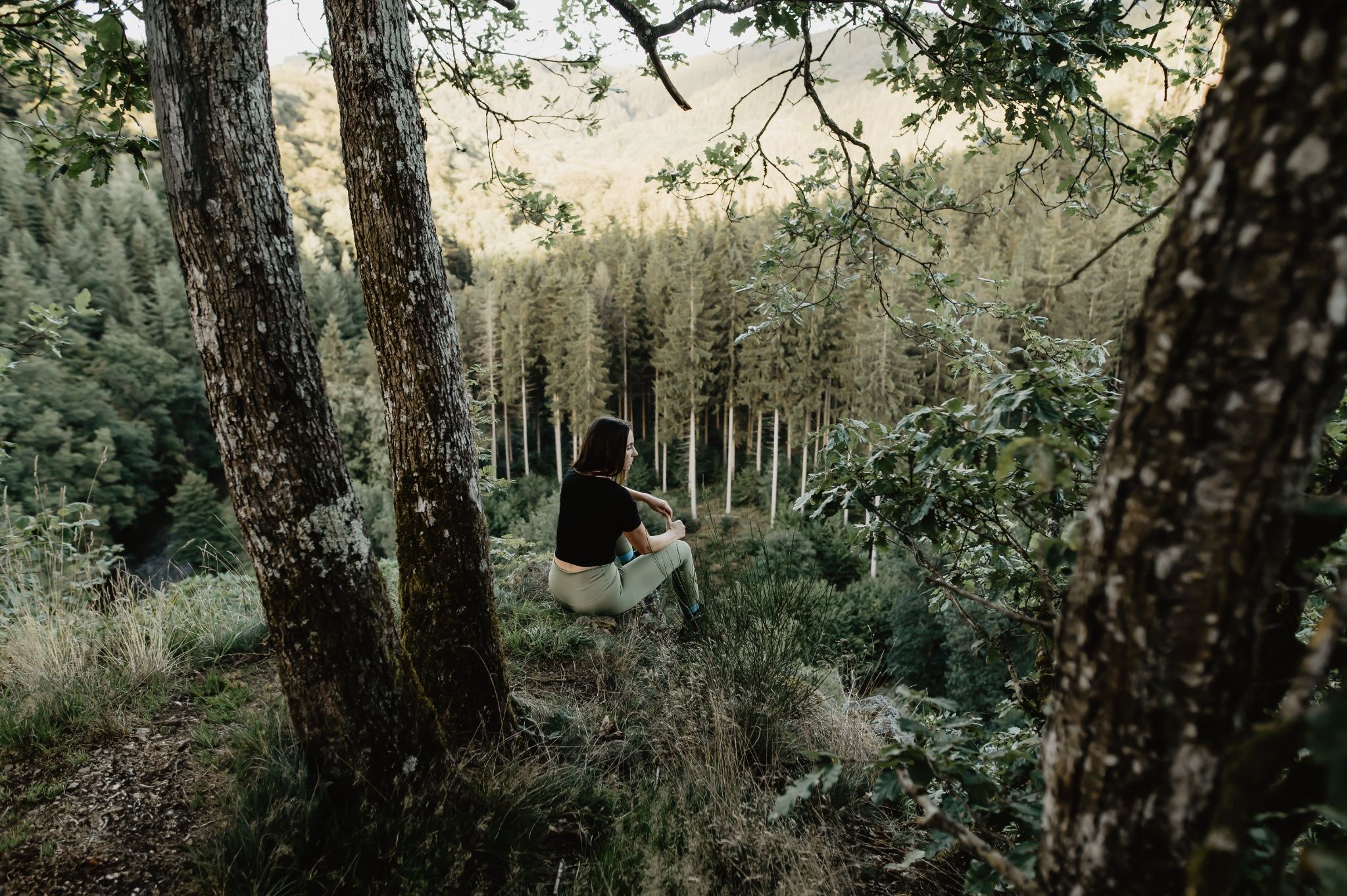
The Auto-Pédestre Roder runs through idyllic landscapes and offers beautiful panoramic views of the Our River.

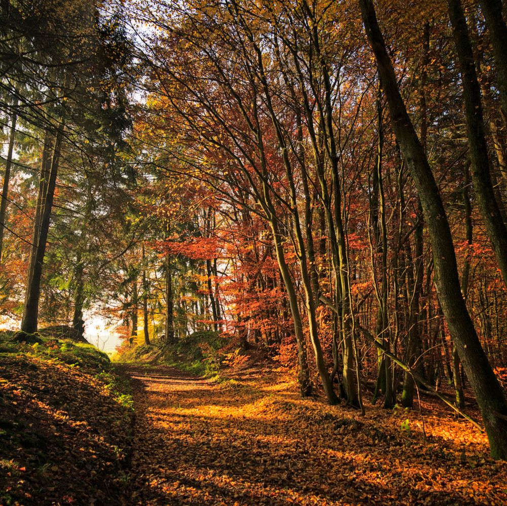
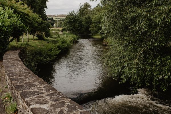
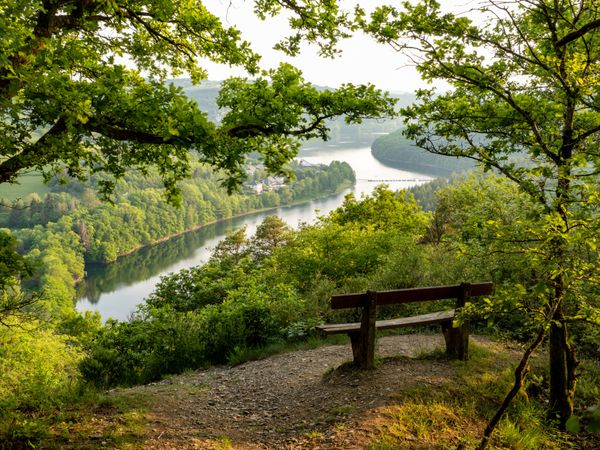
The 80-inhabitant village Roder offers the Auto-Pédestre a great natural setting. First, it goes downhill into the valley of the Kënzelbaach, which you cross. Then the route runs through a forest and then uphill to the Kaasselslee viewpoint. Here you get an unforgettable view of a bend of the Our River.

By the way, at the top of this mountain are the remains of an early historic fortification. This likely dates back to Roman times. The position on the Kaasselbierg was not chosen by chance: the mountain is surrounded by water on three sides. To the east, the Our has even cut deeply into it. Only on the west side is the fortress accessible via a narrow path.

After a well-deserved break, you continue down steps into the river valley and along the German border. At the mouth of the Kënzelbaach, you leave the Our River to climb the Reiteschbierg. Now follow the Ruederbaach back to your starting point.
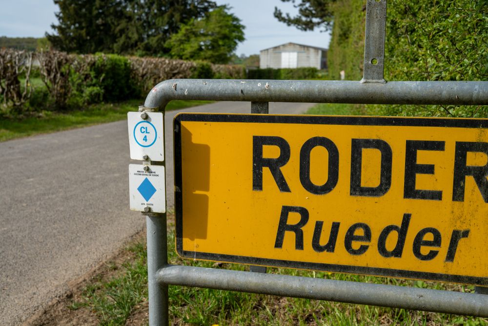
Suggestions nearby

Auto-Pédestre hiking route Roder

  • ©Manoir Kasselslay
    Restaurant Manoir Kasselslay
    Indulgence with attitude. Taste with origin.
    Find out more

Similar hiking tours

©Visit Luxembourg
Circular routes
Auto-Pédestre hiking route Heiderscheid
Distance: 7,97 km
Duration: 2:25 h
Difficulty: medium
Find out more
©Visit Luxembourg
Circular routes
Auto-Pédestre route Lieler
Distance: 7,85 km
Duration: 2:15 h
Difficulty: medium
Find out more
©Visit Luxembourg
Circular routes
Auto-Pédestre Hiking Trail Dahl
Distance: 9,05 km
Duration: 2:45 h
Difficulty: medium
Find out more
©Visit Luxembourg
Circular routes
Auto-Pédestre route Goesdorf
Distance: 6,87 km
Duration: 2:10 h
Difficulty: medium
Find out more
©Visit Luxembourg
Circular routes
Auto-Pédestre Baschleiden route
Distance: 8,55 km
Duration: 2:40 h
Difficulty: medium
Find out more
©Lynn Schüssler, Visit Luxembourg
Éislek Pied
Éislek Pad Heinerscheid
Distance: 15,84 km
Duration: 4:50 h
Difficulty: medium
Find out more
©Visit Luxembourg
Circular routes
Auto-Pédestre Hiking Trail Consthum
Distance: 7,72 km
Duration: 2:15 h
Difficulty: medium
Find out more
©Visit Luxembourg
Circular routes
Auto-Pédestre trail Gralingen
Distance: 9,47 km
Duration: 2:50 h
Difficulty: medium
Find out more
©Visit Luxembourg
Circular routes
Circuit du Lac (eastern part)
Distance: 16,79 km
Duration: 5:30 h
Difficulty: medium
Find out more
outdooractive This website uses technology and content from the Outdooractive Platform.