©Samfaitvoyager

Bavigne dam

Where? L-9635 Bavigne

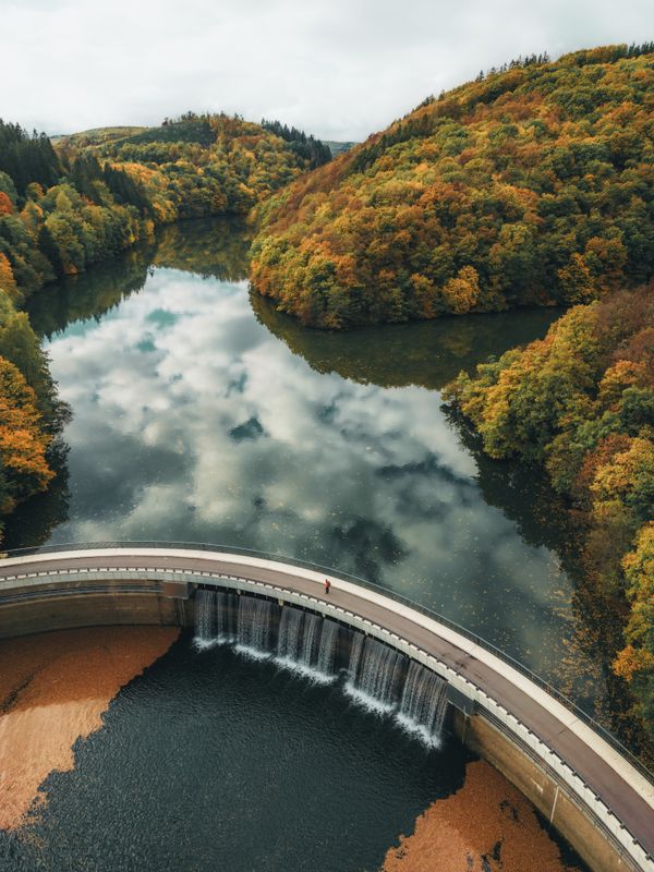
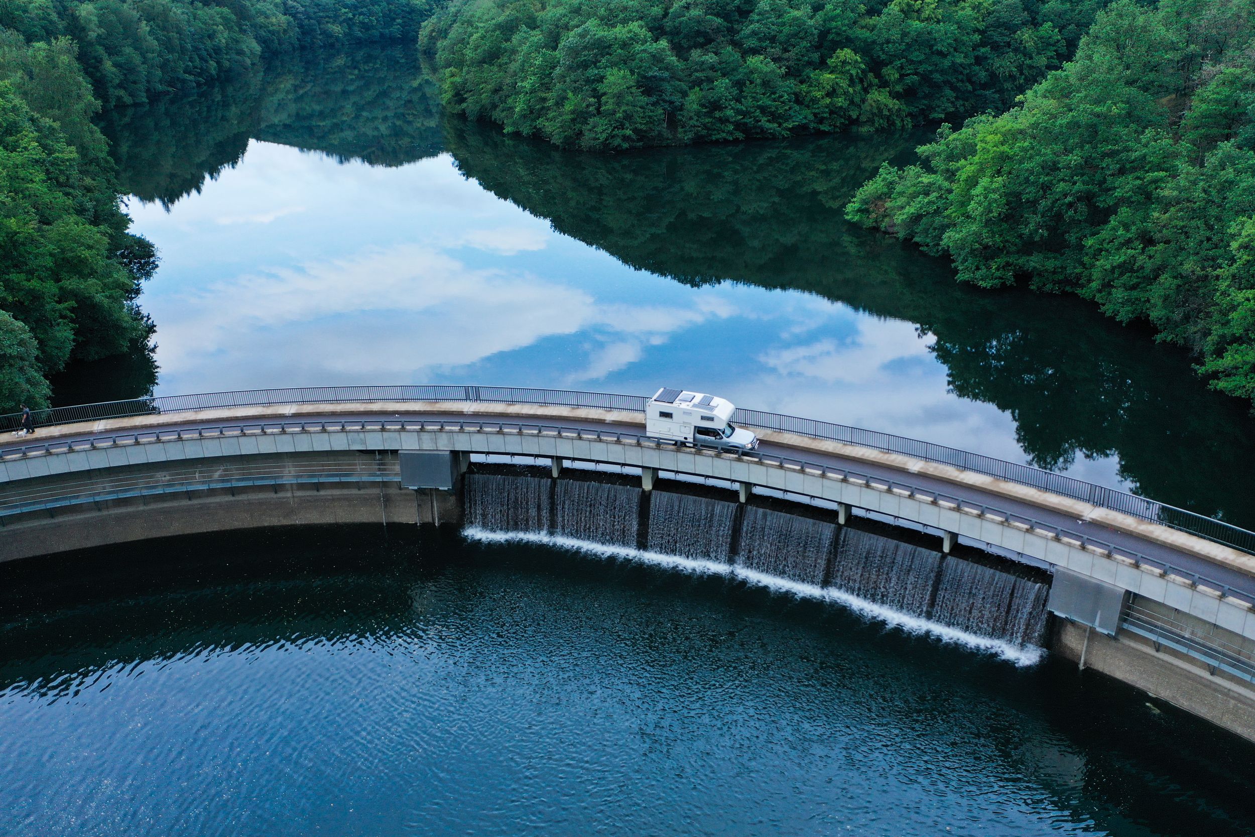
The Bavigne dam, part of the Upper Sûre reservoir, was built in the 1950s, requiring the relocation of mills and farmsteads. Standing at 23 meters, it guards the lake's pristine water quality. Today, as a popular diving spot, it unveils submerged remnants like bridges and a mill, echoing a rich history amid the progress.

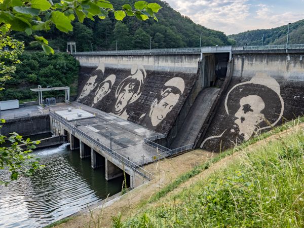
The Bavigne dam, an integral part of the Upper Sûre reservoir. Constructed in the 1950s as an extension of the Esch-sur-Sûre Dam, this strategic water source required the relocation of several mills and farmsteads nestled in the valley.

To preserve the pristine quality of the lake water, ingenious measures were implemented, such as the Bavigne dams, standing at a height of 23 meters. This structure act as a guardian, preventing driftwood, tree trunks, and sand particles from entering the lake.

The construction of the Upper Sûre reservoir necessitated the acquisition of over 400 hectares of land, prompting protests and debates. However, the inevitability of progress led to negotiations with developers or, in some cases, forcible expropriation.

Today, the Bavigne dam wall and the submerged remnants of the former Loutschmillen mill, located in the valley between Liefrange and Bavigne, offer more than a glimpse into the past. As a popular diving spot, the underwater tableau includes elements like two small bridges, an old road, the mill, the waterbed of the "Béiwenerbaach" stream, artifacts like amphorae and bicycles, and even intriguing discoveries such as a pirate boat and a skeletal presence. In the dance between history and progress, the Bavigne dam emerges as both a functional necessity and an inadvertent guardian of submerged stories waiting to be explored.

Opening hours

Contact

Address: Staumauer Bavigne
L-9635 Bavigne
Show on map

More sites

Anti-tank gun 43
At the Houfëls viewpoint, the imposing presence of two World War II relics awaits visitors.
Find out more
Saint-Michel Chapel
The Saint-Michel Chapel towers high above Oberschlinder, surrounded by forest and accessible via hiking trails.
Find out more
Saint-Roch church Insenborn
Discover the neo-Gothic splendour of the Insenborn church, built according to plans by architect Biver in 1861.
Find out more
©Industrie.lu
Antimonmine – Abandoned mine
Amidst the tranquil landscape, Goesdorf's geological tapestry reveals remnants of shafts and galleries, preserving the legacy of this "foundry village."
Find out more
©Visit Éislek
Deiwelselter
This remarkable monument, once a burial site, is a landmark of the town of Diekirch. Those who hike there are rewarded by a great view of the village and its green surroundings.
Find out more
©Visit Clervaux
free
with theLuxembourgPass
Museum Bataille et Châteaux - Battle of the Bulge and castle models
Treat yourself to a journey into the past and into other dimensions! This unique exhibition is suitable for young and old alike. Here you can discover history in a new way.
Find out more
©Jängel Klasen
Veiner Gare – Former Trainstation
Nestled along the River Our, the town of Vianden once boasted a unique railway connection – the "Benny Express." This narrow-gauge line operated from 1889 to 1948, linking Vianden with Diekirch's main railway, a vital step in making the town more accessible to tourists.
Find out more
©Visit Luxembourg
Thematic paths
Bunker hiking route
Distance: 13,84 km
Duration: 4:30 h
Difficulty: difficult
Find out more
©Charles Leon Mayer
Schleef Gare – Former Trainstation
Schleif: Tiny Hamlet, Big Role in the Battle of the Bulge
Find out more