©Leptitbaroudeur

Hoflee

Where? L-9663 Kautenbach

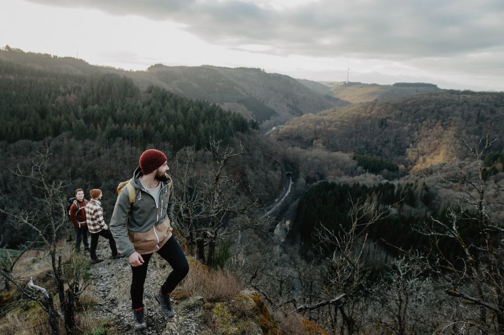
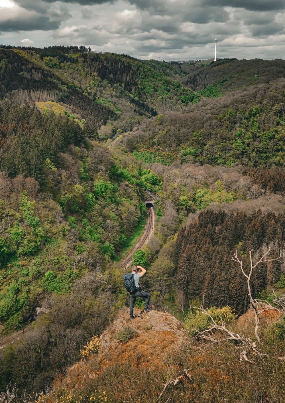
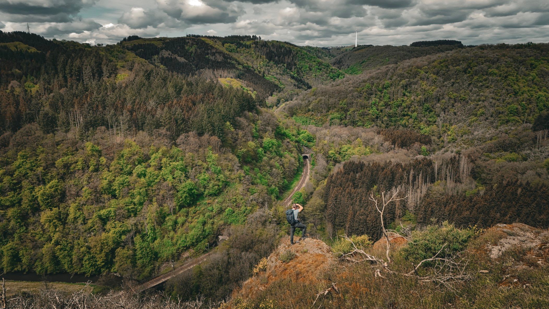
The Hoflee viewpoint near Kautenbach offers impressive views over the Wiltz Valley and leads hikers along narrow rocky ridges through the wooded hills of Éislek.

The Hoflee viewpoint offers impressive views over the Wiltz Valley. The narrow path passages that lead there are sometimes challenging, but offer hikers wonderful views, including of the scenic railway line that runs through the valley. The viewpoint can only be reached on foot and is located on the Éislek Pad Kautenbach, Escapardenne Lee Trail and the Bunker Hiking Trail.

In the summer of 2018, the Hoflee was the scene of one of the largest forest fires in Luxembourg, which destroyed large parts of the forest. Today, nature is slowly recovering and the foundation that bought the area is supporting the regeneration of the forest.

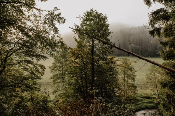
The nature reserve around the Hoflee is characterised by ravine forests that grow on steep, unstable slopes. These mixed forests, dominated by lime and maple trees, are typical of the region and thrive despite the often extreme conditions. These distinctive forest types, which characterise the valley, can be found particularly on the sunny southern slopes.

Opening hours

Contact

Address: Aussichtspunkt "Hoflee"
L-9663 Kautenbach
Show on map

More sites

©Camping Kaul
free
with theLuxembourgPass
RentaBike Ardennes - Camping Kaul
Luxembourg Ardennes: Explore by bike
Find out more
©Visit Luxembourg
Thematic paths
The court jester
Distance: 2,69 km
Duration: 1:00 h
Difficulty: easy
Find out more
©Camping Woltzdal
Camping car spaces Camping Woltzdal
©Jängel Klasen
Veiner Gare – Former Trainstation
Nestled along the River Our, the town of Vianden once boasted a unique railway connection – the "Benny Express." This narrow-gauge line operated from 1889 to 1948, linking Vianden with Diekirch's main railway, a vital step in making the town more accessible to tourists.
Find out more
©Cube 521
Cube 521 Marnach
Cube 521 - "Maison régionale de la Culture"
Find out more
©Visit Éislek
Camping de la Sûre
Pets allowedWifi
©Visit Luxembourg
Cycle path de la Moyenne Sûre (PC 16)
Distance: 37,39 km
Duration: 3:25 h
Difficulty: medium
Find out more
©Visit Éislek, Visit Éislek
Circular routes
Local hiking trail ES 1 - Burfelt
Distance: 4,66 km
Duration: 1:35 h
Difficulty: easy
Find out more
©Visit Éislek, Visit Éislek
Circular routes
Local hiking trail RB 2 - Folschette
Distance: 6,03 km
Duration: 1:45 h
Difficulty: easy
Find out more