©Visit Luxembourg
Éislek Germany France

Auto-Pédestre Hiking Trail Berlé

Hunting Season 2025/26 — Check for hunts

Autumn is here, and that means hunting season has begun! From mid-October to January/February, hunters are active across the country. Stay safe by checking hunt dates in your area on our Map. 

Click on Map in the Header > Services > More > Hunting.

Starting point

28 Duerfstrooss, Berlé

Destination

28 Duerfstrooss, Berlé

Distance
8,42 km
Duration
2:25 h
Difficulty
medium
  • Condition
Highest point
499 Hm
Lowest point
374 Hm
Aggregated Ascent
180 Hm
Aggregated Descent
180 Hm
Circular routes Visit Luxembourg

Description

Scenic

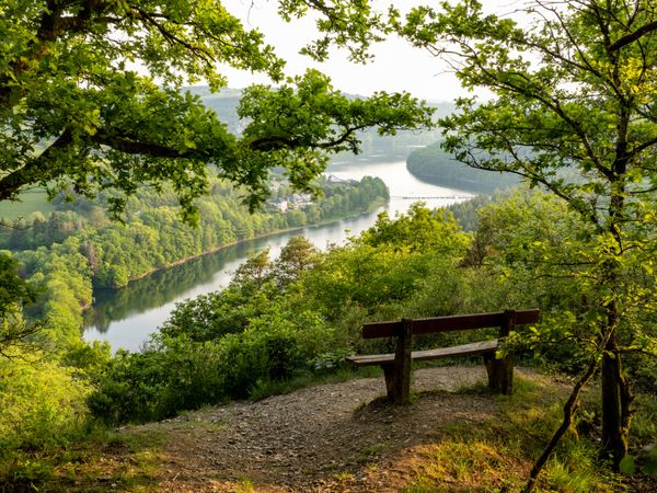
The village of Berlé, with 100 inhabitants, is located on a plateau surrounded by several picturesque valleys. This is exactly where the Auto-Pédestre hiking trail runs.

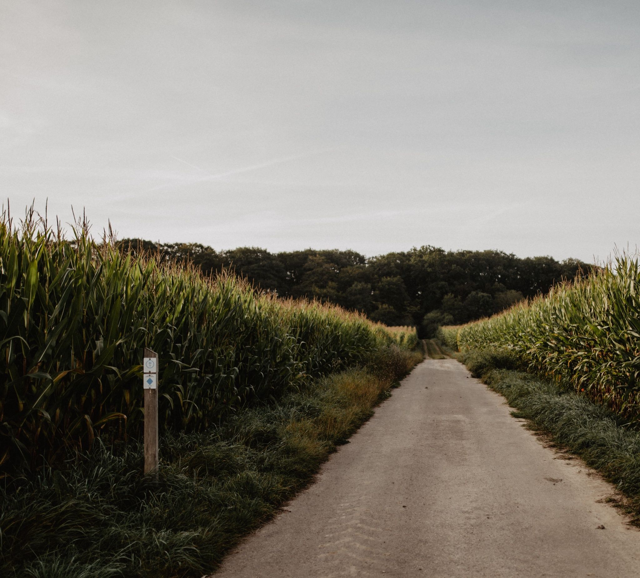
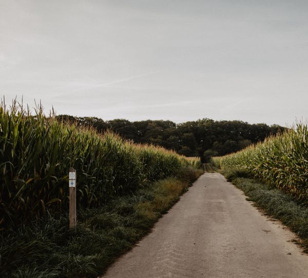
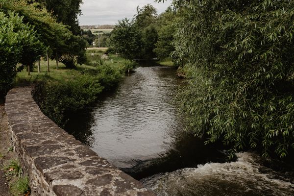
The starting point of the Auto-Pédestre Berlé is located in the village center, on the Buergknapp plateau. First, the route goes down into the valley of the Krupbéiwen, along the Sollerbaach to the mill of Soller, whose water wheel has been inactive since 1936. The milling operation was discontinued in 1945. Today the mill is privately owned.

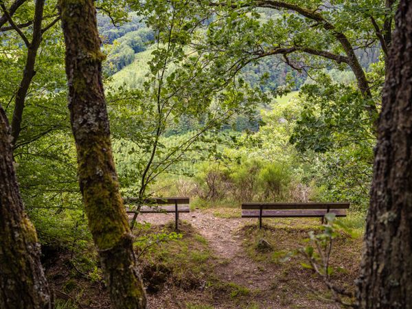
Then it goes uphill to the Neuf Champs and downhill again into the valley of the Donkelserbaach.

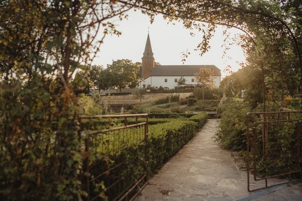
The circular route ultimately leads back to Berlé. Next to the village church of St. Blaise, there is a monument honoring the American liberators of the 90th Infantry Division. During the Battle of the Bulge, between December 1944 and January 1945, the village was completely destroyed, forcing nearly all residents to leave the locality. The village is located very close to the Belgian city of Bastogne, one of the key sites of the Battle of the Bulge.

The Auto-Pédestre hiking trail ends at the church.

Similar hiking tours

©Visit Luxembourg
Circular routes
Auto-Pédestre hiking route Munshausen
Distance: 8,68 km
Duration: 2:45 h
Difficulty: medium
Find out more
©Visit Luxembourg
Circular routes
Auto-Pédestre route Lieler
Distance: 7,85 km
Duration: 2:15 h
Difficulty: medium
Find out more
©Visit Luxembourg
Circular routes
Auto-Pédestre route Colmar-Berg
Distance: 7,24 km
Duration: 2:00 h
Difficulty: medium
Find out more
©Visit Éislek, Visit Éislek
Circular routes
Auto-Pédestre hiking route Esch-Sur-Sûre
Distance: 9,72 km
Duration: 3:10 h
Difficulty: medium
Find out more
©Visit Luxembourg
Circular routes
Auto-Pédestre Stolzembourg hiking trail
Distance: 7,59 km
Duration: 2:15 h
Difficulty: medium
Find out more
©Visit Éislek, Visit Éislek
Éislek Pied
Éislek Path Diekirch
Distance: 14,51 km
Duration: 4:15 h
Difficulty: medium
Find out more
©Lynn Schüssler, Visit Luxembourg
Éislek Pied
Éislek Pad Heinerscheid
Distance: 15,84 km
Duration: 4:50 h
Difficulty: medium
Find out more
©Visit Luxembourg
Circular routes
Auto-Pédestre Hiking Trail Kaundorf
Distance: 8,51 km
Duration: 2:25 h
Difficulty: medium
Find out more
©Visit Luxembourg
Circular routes
Auto-Pédestre Hiking Route Wahlhausen
Distance: 9,11 km
Duration: 2:50 h
Difficulty: medium
Find out more
outdooractive This website uses technology and content from the Outdooractive Platform.