Description
To the Preacher's Chair
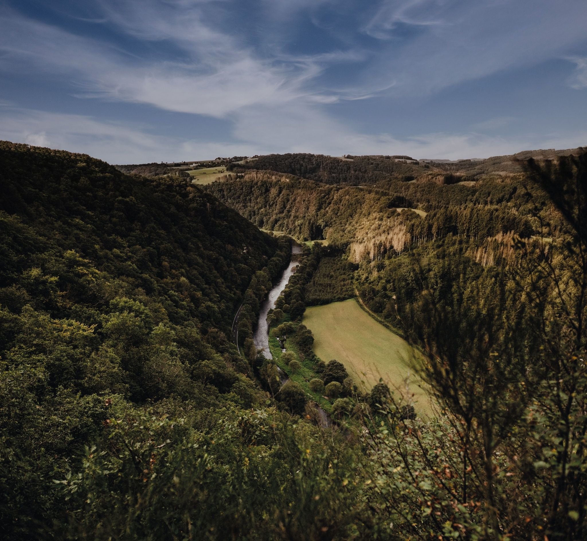
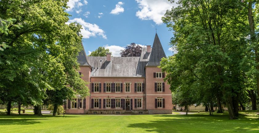
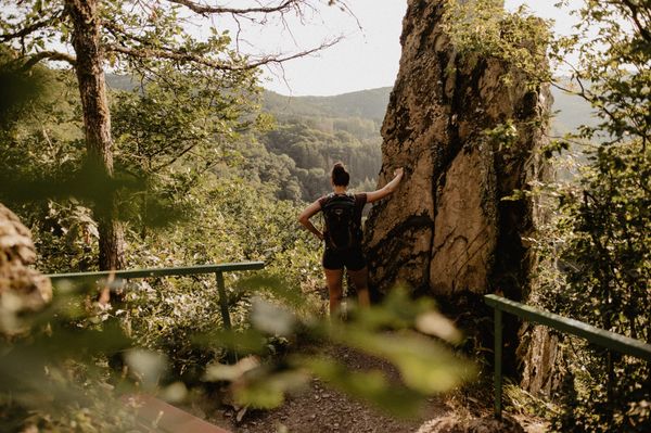
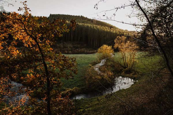
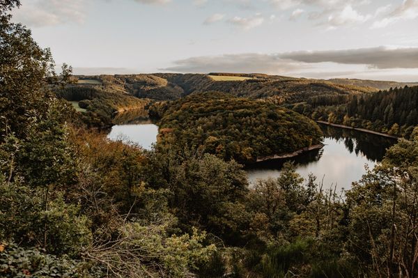
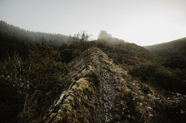
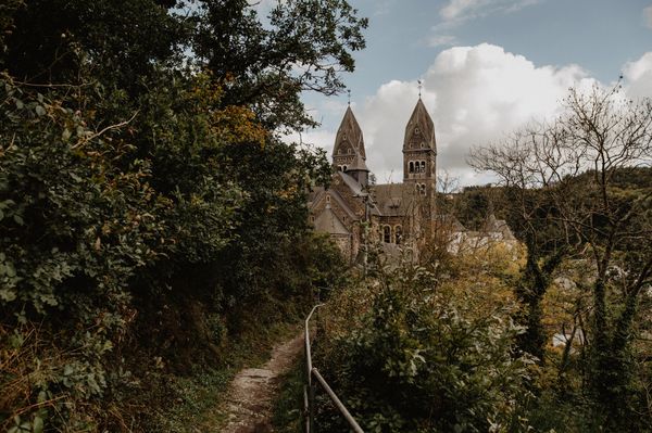
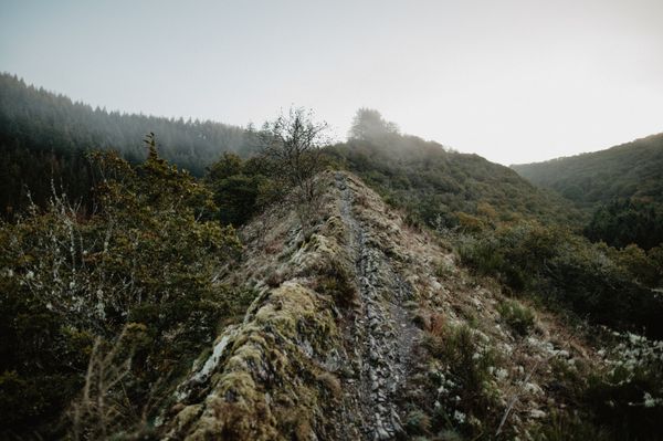
This route offers quite a few elevation meters. You cross the Sauer and then it's already uphill. You get the first magnificent view from Schaarflee down into the Sauer Valley. Then it goes downhill into the village of Michelau, where you can see Bourscheid Castle from afar. A steep climb follows, stretching over several kilometers. You will be rewarded with the view from the "Priedegtstull".
Directions
The hiking trail is marked in both directions. Please follow the white-blue "ER 1" markers.
For your safety
Weather conditions such as wetness, ice, and wind can make a route more difficult. The information refers to optimal conditions.
Equipment
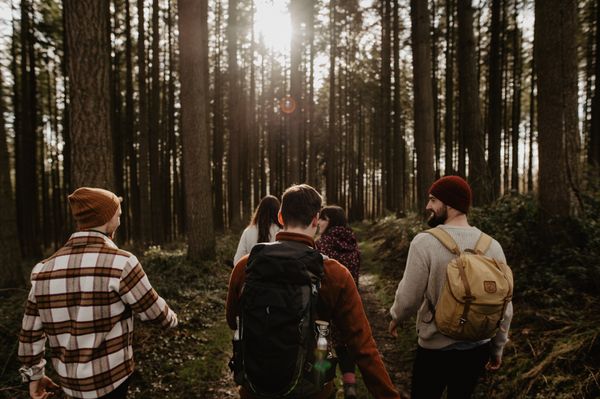
Sturdy footwear and something to drink.
Journey
Use the free public transport and travel climate-friendly by bus and train.
Nearest bus stop: "Bei der Kiirch"
www.mobiliteit.lu
Parking:
There is a car park directly at the starting point.


 This website uses technology and content from the Outdooractive Platform.