Description
From viewpoint to viewpoint
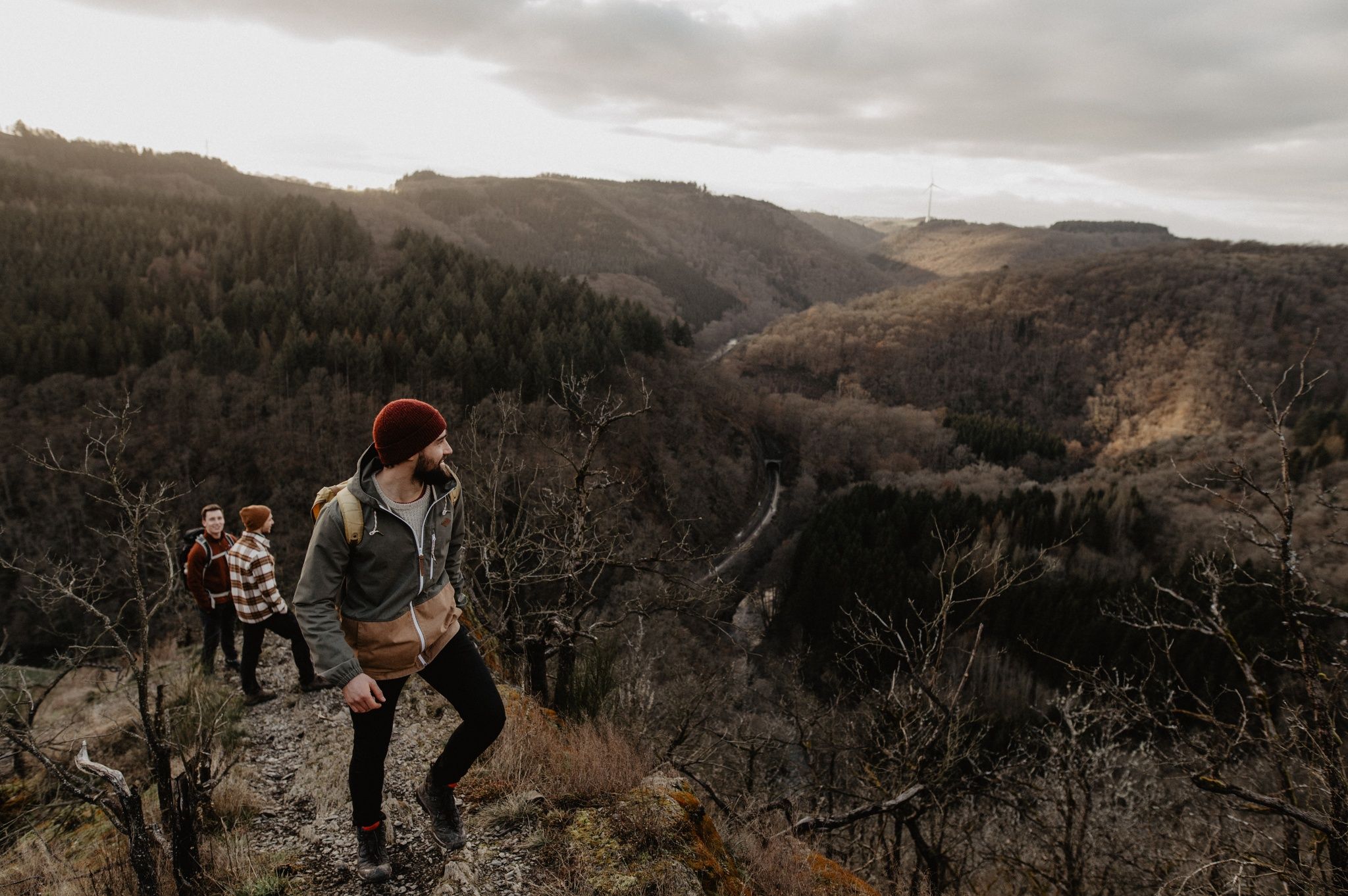
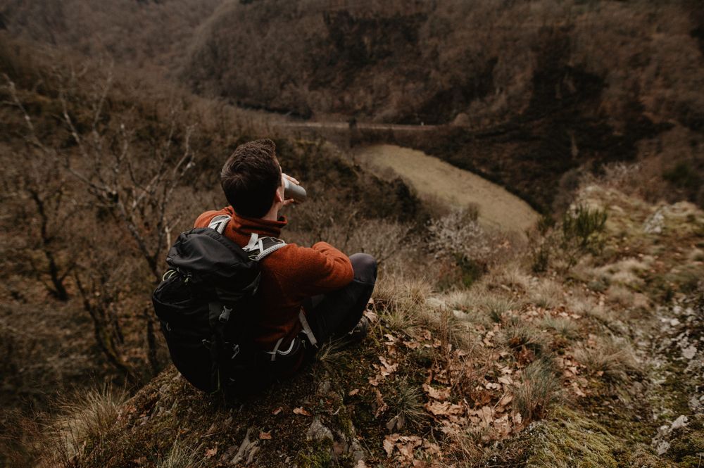
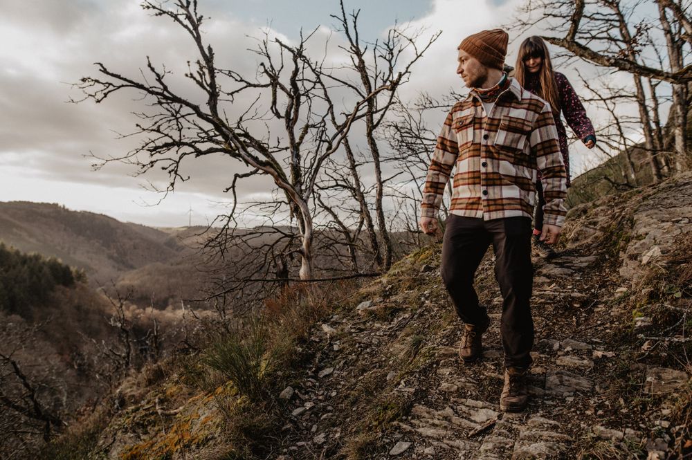
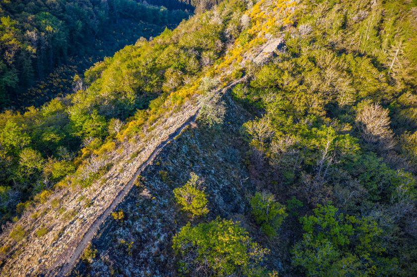
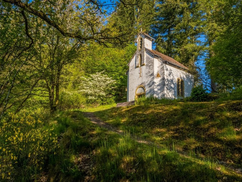
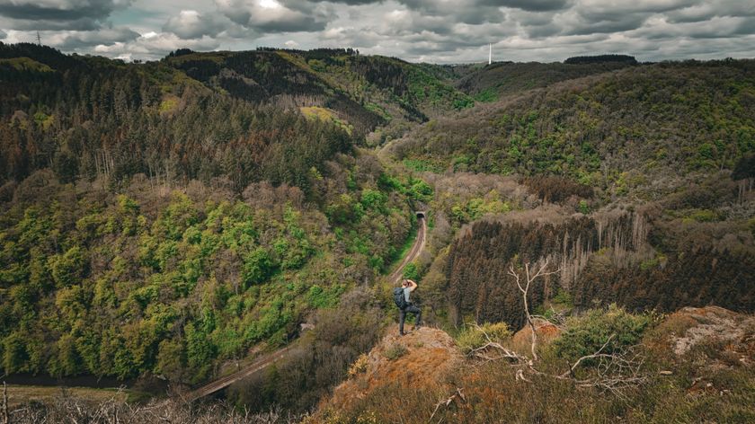
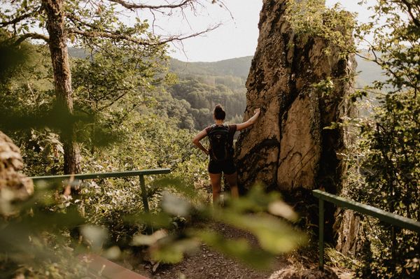
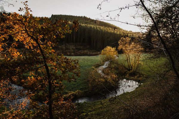
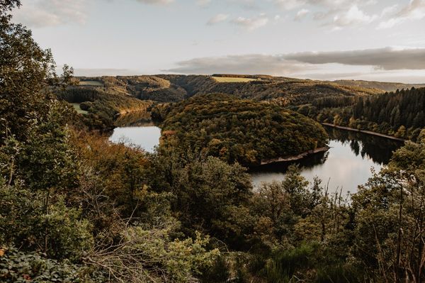
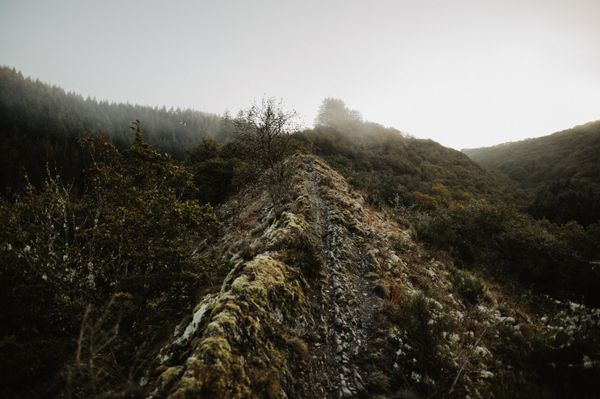
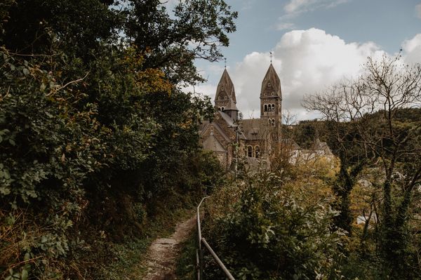
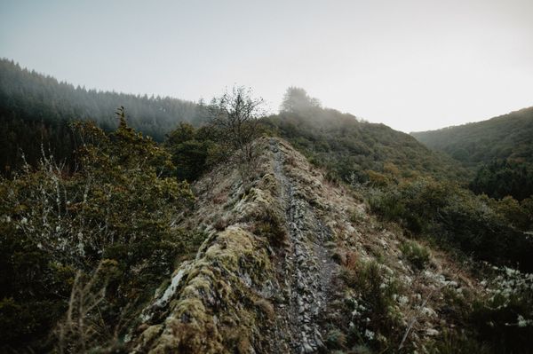
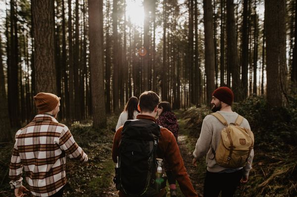
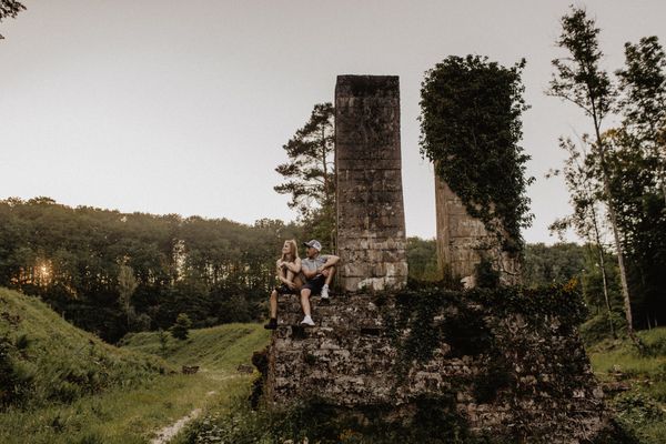
You hike on the Bomm ridge, which leads you to the Ueweschleed viewpoint. It is worth looking back at your starting point, the peaceful Kautenbach. In the forest, you will discover the Doosbach bunker, which served as a shelter during the Second World War. The views from Hof- and Hockslee complete the path. Those are great views!
Signposting
Directions
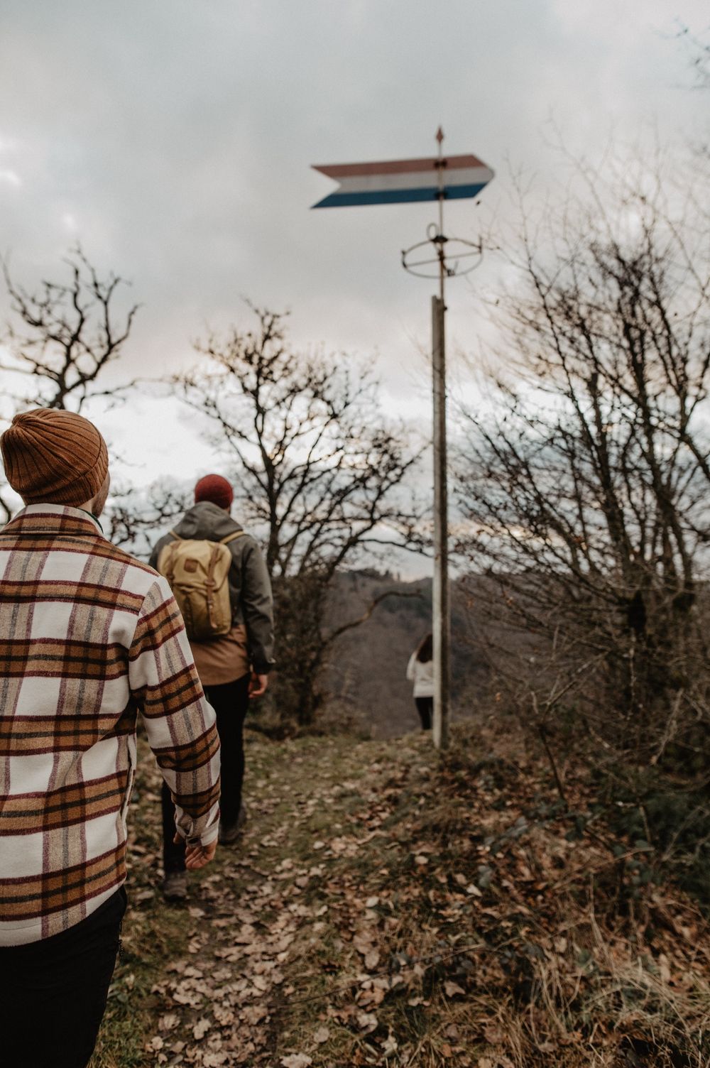
The hiking trail is marked in both directions. Please follow the Éislek marking sign.
For your safety
Weather conditions such as wetness, ice, and wind can make a route more difficult. The information refers to optimal conditions.
Equipment
Sturdy footwear and something to drink.
Journey
Use the free public transport and travel climate-friendly by bus and train.
Nearest bus stop (100 m): "Am Duerf"
www.mobiliteit.lu
Parking:
A parking lot is located directly at the starting point.


 This website uses technology and content from the Outdooractive Platform.