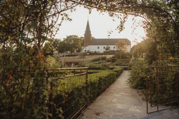
Thematic paths Visit Éislek
Description
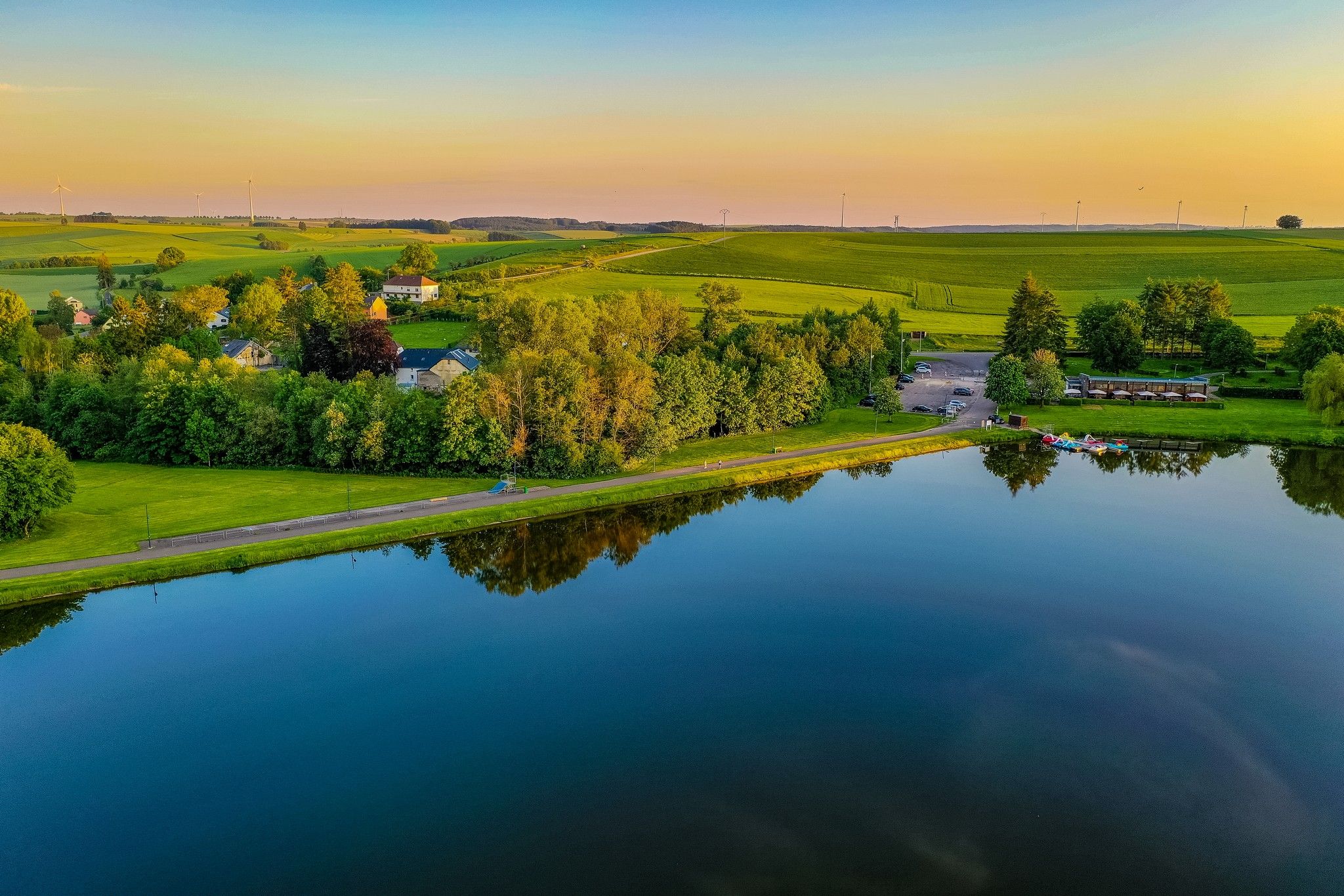
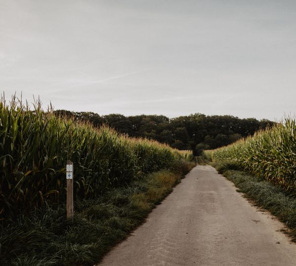
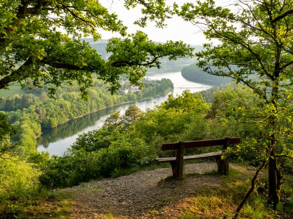
Damp meadows, tall grasses and moor
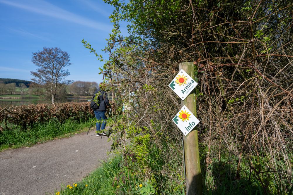
Damp meadows, tall grasses and moor – nature plays the leading role on this path. Those who are attentive can observe a variety of exciting plants and animals. For example, the endangered Arnica plant is found here, which is used externally as a medicinal plant for injuries as well as muscle and joint complaints.
Directions
For your safety
Weather conditions such as wetness, ice and wind can make a route difficult. The information refers to optimal conditions.
Equipment
Sturdy footwear and something to drink.
Journey
Public transport:
Parking:
Use the free public transport and travel climate-friendly by bus and train.
Nearest bus stop: "Ennischt Duarref"
Parking:
A parking lot is located directly at the starting point.


 This website uses technology and content from the Outdooractive Platform.