Description
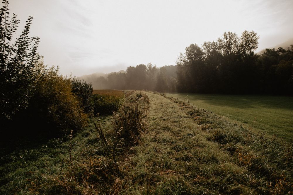
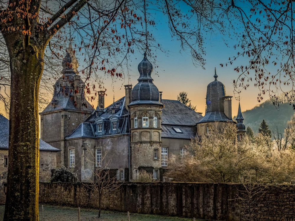
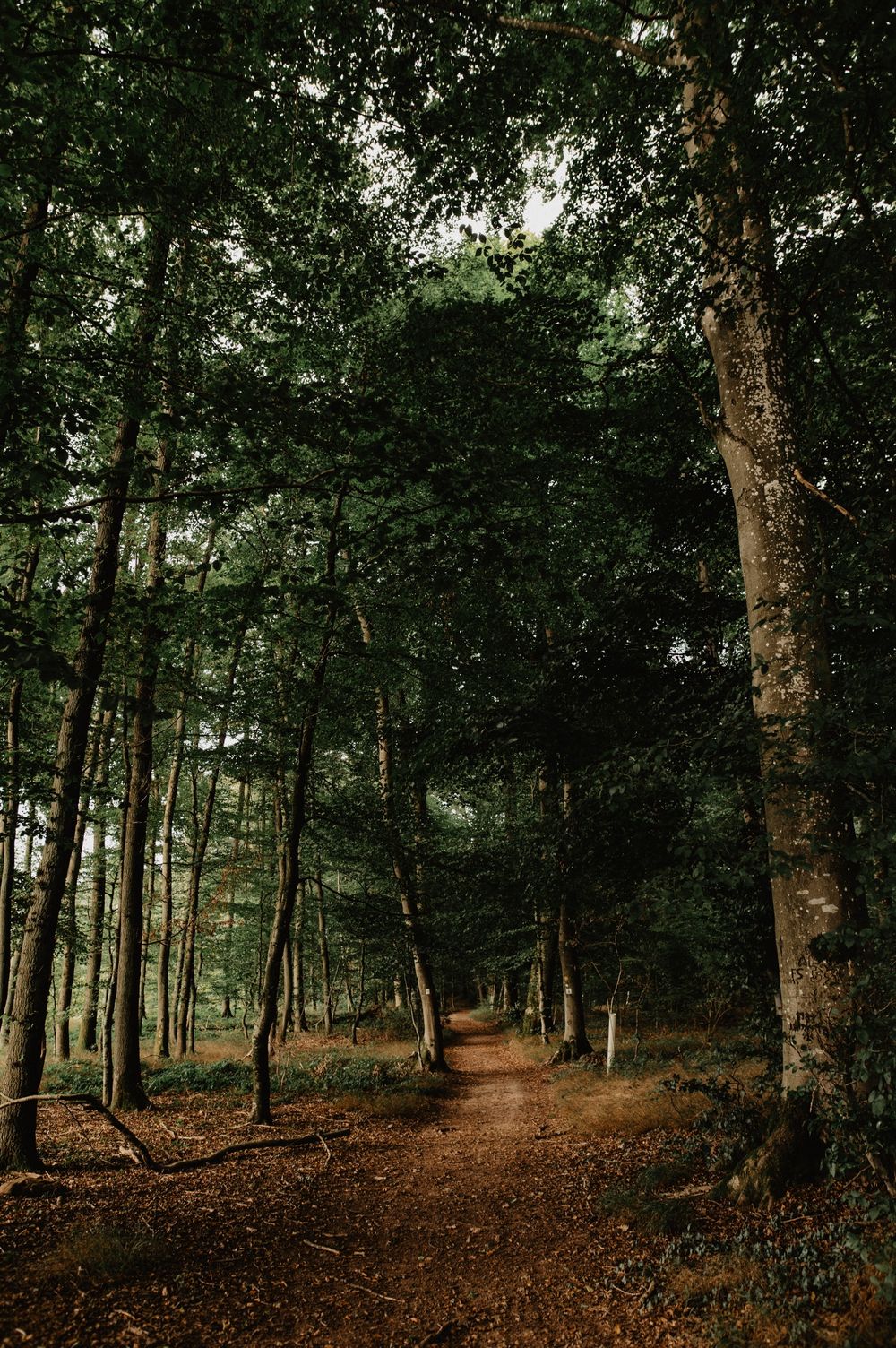
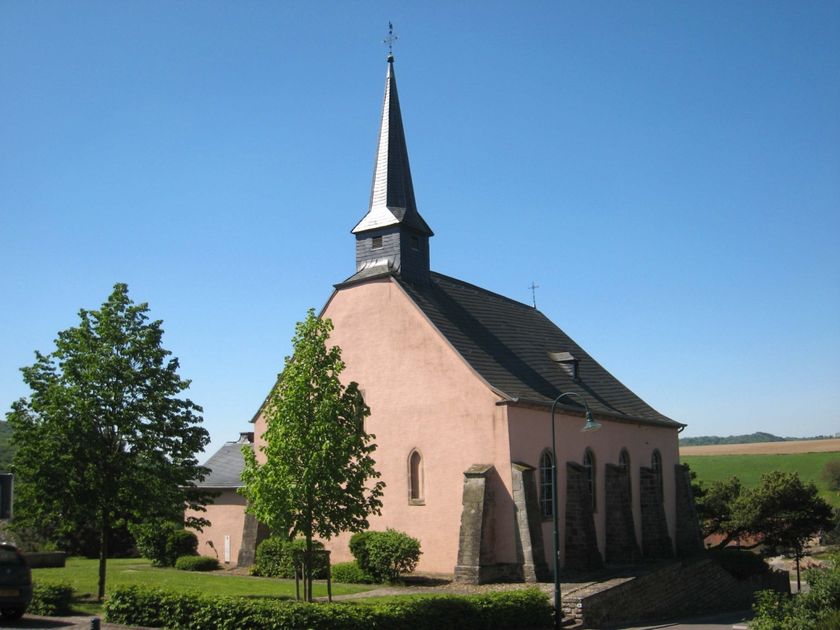
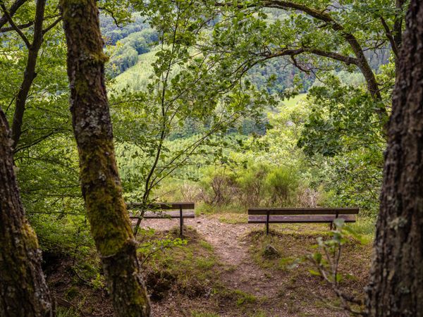
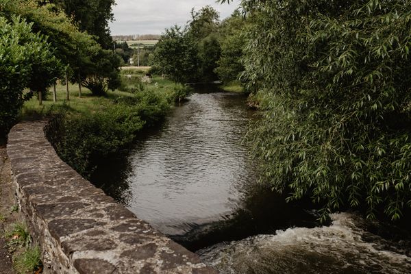
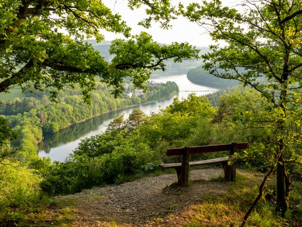
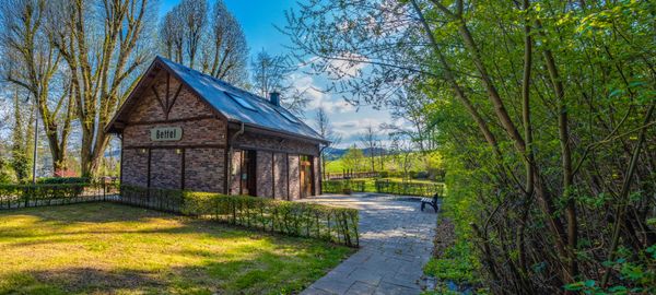
This path combines history and nature. First, you walk over the dyke along the Sauer. After a climb, you follow a former battle line from the Second World War, lined with rifle pits. The Niederberghaff ruin, past which you wander, also recalls past times. A good opportunity to explore the history of the Éislek in an investigative way.
Signposting

Directions
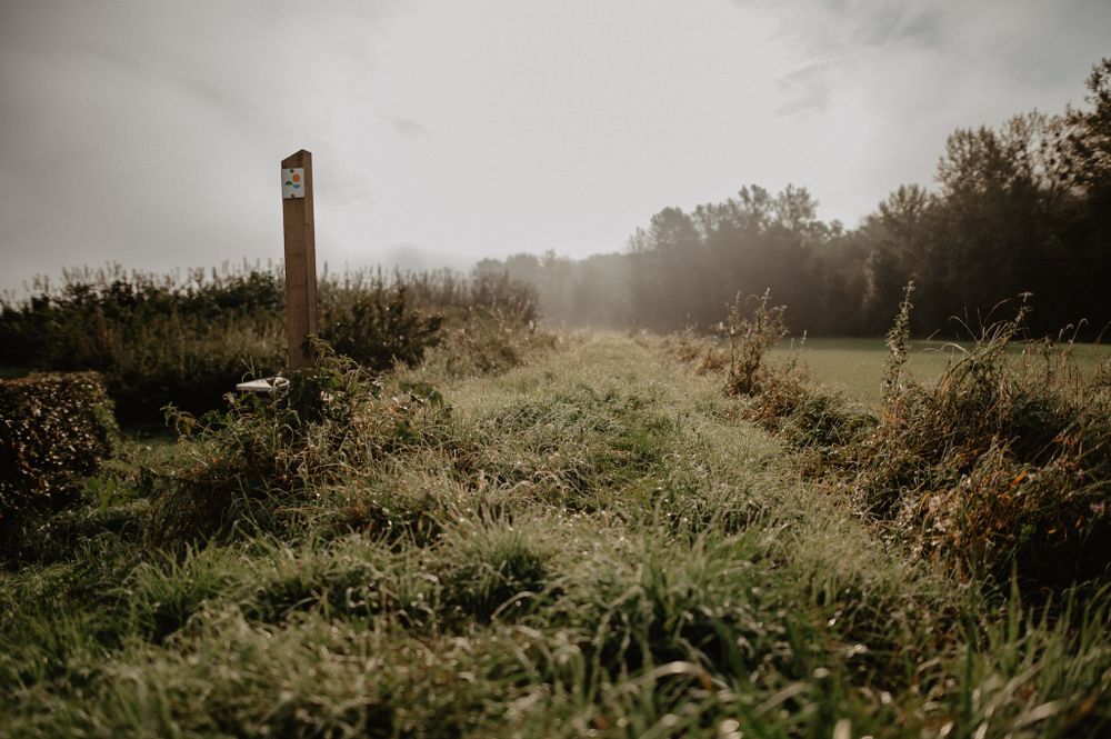
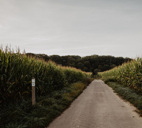
The hiking trail is marked in both directions. Please follow the Éislek marking sign.
For your safety
Weather conditions such as wetness, ice, and wind can make a route more difficult. The information refers to optimal conditions.
Equipment
Sturdy footwear and something to drink.
Journey
Use the free public transport and travel climate-friendly by bus and train.
Nearest bus stop (70 m): "Gemeng"
www.mobiliteit.lu
Parking:
A parking lot is located directly at the starting point.


 This website uses technology and content from the Outdooractive Platform.