©Visit Éislek, Visit Éislek
Éislek Germany France

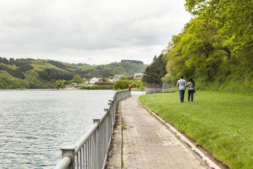
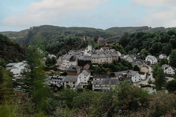
Local hiking trail LH 5 - Liefrange

Hunting Season 2025/26 — Check for hunts

Autumn is here, and that means hunting season has begun! From mid-October to January/February, hunters are active across the country. Stay safe by checking hunt dates in your area on our Map. 

Click on Map in the Header > Services > More > Hunting.

Starting point

Liefrange

Destination

Liefrange

Distance
7,64 km
Duration
2:30 h
Difficulty
medium
  • Condition
Highest point
418 Hm
Lowest point
320 Hm
Aggregated Ascent
279 Hm
Aggregated Descent
278 Hm
Circular routes Visit Luxembourg

Description

Scenic
From the leisurely afternoon round to the challenging hiking tour, everything is included in the Local Hiking Trails.

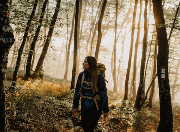
The local hiking trails are marked with the abbreviations of the municipality where they start. The larger the number that the marker symbol contains, the longer the circular hiking trail. See for yourself the variety of local hiking trails and the different features in the Éislek region.

Suggestions nearby

Local hiking trail LH 5 - Liefrange

  • ©Caroline Martin
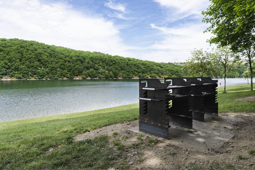
    Fuussefeld Beach
    Bathing area with permanent barbecue sites Nearest car parks: Fuussefeld (chargeable, in the direct vicinity) Nearest bus stop: Insenborn, Dorf (20 minutes by foot)
    Find out more
  • ©Samfaitvoyager
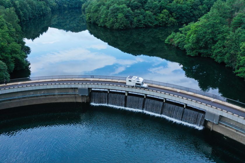
    Bavigne dam
    The Bavigne dam, part of the Upper Sûre reservoir, was built in the 1950s, requiring the relocation of mills and farmsteads. Standing at 23 meters, it guards the lake's pristine water quality. Today, as a popular diving spot, it unveils submerged remnants like bridges and a mill, echoing a rich history amid the progress.
    Find out more
  • ©Caroline Martin
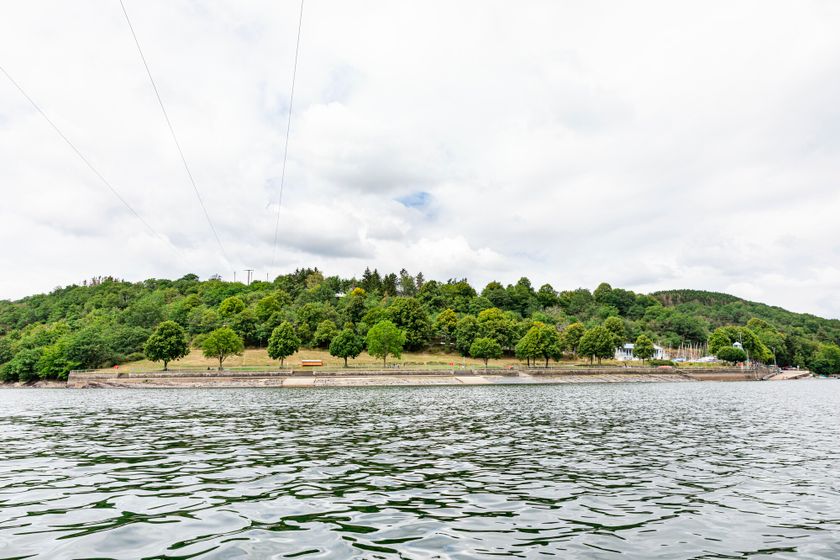
    Liefrange Beach
    Nearest car parks: Liefrange Plage (free) Nearest bus stop: Liefrange, Base nautique
    Find out more
  • ©Adobe stock by Aaron Kohr
    Parking - Liefrange Plage
    Situated next to the bus stop Liefrange - Base nautique and the bathing area Liefrange.
    Find out more
  • Frounbierg Beach
    Nearest car parks: An der Baech (chargeable), Frounbierg (chargeable), and carpark Am Kéilert (free, best to drive here with the "Stauséi-Navett"). Nearest bus stop: Bonnal, Um Bommel
    Find out more

Similar hiking tours

©Visit Luxembourg
Circular routes
Auto-Pédestre trail Heiderscheid
Distance: 7,97 km
Duration: 2:25 h
Difficulty: medium
Find out more
©Visit Luxembourg
Circular routes
Auto-Pédestre trail Holtz
Distance: 8,92 km
Duration: 2:30 h
Difficulty: medium
Find out more
©Visit Luxembourg
Circular routes
Auto-Pédestre trail Dahl
Distance: 9,05 km
Duration: 2:45 h
Difficulty: medium
Find out more
©Visit Luxembourg
Circular routes
Auto-Pédestre trail Consthum
Distance: 7,72 km
Duration: 2:15 h
Difficulty: medium
Find out more
©Visit Luxembourg
Circular routes
Auto-Pédestre trail Gralingen
Distance: 9,47 km
Duration: 2:50 h
Difficulty: medium
Find out more
©Visit Luxembourg
Circular routes
Circuit du Lac (eastern part)
Distance: 16,79 km
Duration: 5:30 h
Difficulty: medium
Find out more
©Visit Luxembourg
Circular routes
Auto-Pédestre trail Rambrouch
Distance: 10,88 km
Duration: 2:55 h
Difficulty: medium
Find out more
©Visit Luxembourg
Circular routes
Auto-Pédestre trail Schieren
Distance: 7,44 km
Duration: 2:10 h
Difficulty: medium
Find out more
©Visit Luxembourg
Circular routes
Auto-Pédestre route Vianden
Distance: 7,96 km
Duration: 2:45 h
Difficulty: medium
Find out more
outdooractive This website uses technology and content from the Outdooractive Platform.